Taroudannt Airport
| Taroudannt Airport | |||||||||||
|---|---|---|---|---|---|---|---|---|---|---|---|
| IATA: none – ICAO: GMMO | |||||||||||
| Summary | |||||||||||
| Airport type | Public | ||||||||||
| Serves | Taroudannt | ||||||||||
| Elevation AMSL | 869 ft / 265 m | ||||||||||
| Coordinates | 30°30′09″N 08°49′25″W / 30.50250°N 8.82361°WCoordinates: 30°30′09″N 08°49′25″W / 30.50250°N 8.82361°W | ||||||||||
| Map | |||||||||||
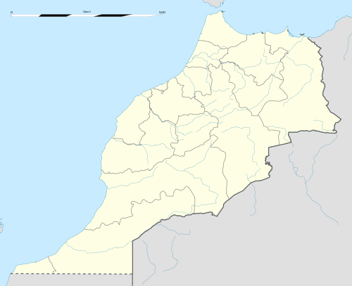 Taroudannt | |||||||||||
| Runways | |||||||||||
| |||||||||||
|
Source: Google Maps[1] | |||||||||||
Taroudannt Airport (ICAO: GMMO) is an airport serving Taroudannt, Morocco.
See also
- Transport in Morocco
 Morocco portal
 Aviation portal
References
- OurAirports - Taroudannt
- Great Circle Mapper - Taroudannt
- Google Earth
External links
This article is issued from Wikipedia - version of the 12/5/2016. The text is available under the Creative Commons Attribution/Share Alike but additional terms may apply for the media files.