Tanglewood, Florida
| Tanglewood | |
|---|---|
| Former CDP | |
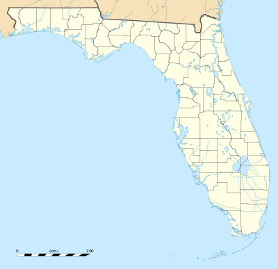 Tanglewood Location within the state of Florida | |
| Coordinates: 26°34′37″N 81°53′50″W / 26.57694°N 81.89722°WCoordinates: 26°34′37″N 81°53′50″W / 26.57694°N 81.89722°W | |
| Country | United States |
| State | Florida |
| County | Lee |
| Area | |
| • Land | 3.8 sq mi (9.8 km2) |
| Population (1980) | |
| • Total | 8,229 |
| Time zone | Eastern (EST) (UTC-5) |
| • Summer (DST) | EDT (UTC-4) |
| Area code(s) | 239 |
| FIPS code | 71112[1] |
Tanglewood was a Census-designated place in Lee County, Florida during the 1980 United States Census.[2] The population in 1980 was 8,229.[3] The census area was partially annexed by neighboring Fort Myers while the remainder of the area was reassigned to the newly designated CDPs of Whiskey Creek & McGregor.[4]
Geography
The census area of Tanglewood was located at approximately 26.576992 north, 81.897271 west. The census area was located adjacent to the city of Fort Myers and north of Villas.[5] The CDP had a land area of 3.8 square miles (9.8 square kilometers).[6]
References
- ↑ Tanglewood, Florida. Roadside Thoughts. Retrieved 2013-08-28.
- ↑ 1980 census of population and housing: finders' guide to block statistics. United States Census Bureau. Retrieved 2013-08-28
- ↑ 1980 Census of Population - Florida. United States Census Bureau. Retrieved 2013-08-28.
- ↑ 1990 Census of Population. United States Census Bureau. 1993. Retrieved 2013-08-28.
- ↑ 1980 Census of Population - Florida. United States Census Bureau. Retrieved 2013-08-28.
- ↑ County and city data book, 1983, Pages 417-996. Google Books. Retrieved 2013-08-28.
This article is issued from Wikipedia - version of the 10/6/2016. The text is available under the Creative Commons Attribution/Share Alike but additional terms may apply for the media files.