Talerddig
Coordinates: 52°35′18″N 3°34′44″W / 52.588359°N 3.579007°W
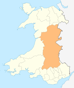
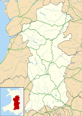
Talerddig is a village in Powys, mid Wales, located on the main A470 road between Llanbrynmair and Carno. It is part of Llanbrynmair community.
Talerddig cutting
Although the village no longer has a railway station, it is on the route of the 1863 constructed Newtown and Machynlleth Railway. The route passes through Talerddig cutting, a significant civil engineering achievement of the 1860s being 120 feet (37 m) deep and cut through solid rock, and the deepest in the world at the time of its completion in 1862.[1][2]
There was an accident in the cutting on 18 January 1921, of which several pictures survive. There remains a passing loop today on the single track Cambrian Line where Talerddig railway station existed until 1965. The passing loop was retained in track rationalisations of the 1970s due to the need to "pin down" the brakes on freight trains over the summit, and now a critical operational node for passing passenger trains.[3]
Gallery
-

Aberystwyth - Shrewsbury train at Talerddig in 1953
-

Talerddig Cutting in 2001. This was the deepest in the world at the time of its opening in the early 1860s. The original near-vertical sides have since been trimmed back
-

Talerddig Signal Box, resembling an outbuilding in someone's garden. However, the railway line lies behind the signal box
References
- ↑ C P Gasquoine (1973). The Story of the Cambrian. Christopher Davies Ltd.
- ↑ “National Museum Wales” accessed 4 Dec 2010
- ↑ Carno Station Action Group, Talerddig Passing Loop
External links
- Photos of Talerddig and surrounding area on geograph
- 1921 rail crash: Picture 1, Picture 2, Picture 3