Taiping New City Subdistrict
| Taiping New City Subdistrict | |
|---|---|
| Subdistrict | |
| Chinese transcription(s) | |
| • Simplified | 太平新城街道 |
| • Traditional | 太平新城街道 |
| • Pinyin | Tàipíng Xīnchéng Jiēdào |
 | |
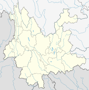 Taiping New City Location in Yunnan province | |
| Coordinates: 24°57′01″N 102°35′05″E / 24.95028°N 102.58472°ECoordinates: 24°57′01″N 102°35′05″E / 24.95028°N 102.58472°E | |
| Country | China |
| Province | Yunnan |
| Prefecture-level city | Kunming |
| County-level city | Anning City |
| Area | |
| • Total | 85 km2 (33 sq mi) |
| Population (2010) | |
| • Total | 17,200 |
| • Density | 200/km2 (520/sq mi) |
| Time zone | China Standard (UTC+8) |
| Postal code | 650301 |
| Area code(s) | 0871 |
| Website | http://www.tpost.org/ |
Taiping New City Subdistrict (Chinese: 太平新城街道; pinyin: Tàipíng Xīnchéng Jiēdào) is a subdistrict situated in eastern Anning City, Yunnan province, southwestern China. It lies about 12 km east of Anning City, situated at the western foot of the West Hill. Formerly a town (太平镇), its status changed to a subdistrict of Anning in 2011.[1]
References
- ↑ 安宁全域撤镇设街道办事处 (in Chinese). 云南经济日报. 2011-04-19. Retrieved 2011-09-27.
This article is issued from Wikipedia - version of the 4/4/2016. The text is available under the Creative Commons Attribution/Share Alike but additional terms may apply for the media files.