Tadji Airport
| Tadji Airport | |||||||||||
|---|---|---|---|---|---|---|---|---|---|---|---|
| IATA: TAJ – ICAO: none | |||||||||||
| Summary | |||||||||||
| Location | Tadji, Papua New Guinea | ||||||||||
| Elevation AMSL | 16 ft / 5 m | ||||||||||
| Coordinates | 3°11.94′S 142°25.7′E / 3.19900°S 142.4283°E | ||||||||||
| Map | |||||||||||
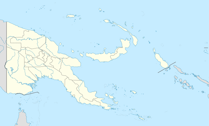 TAJ Location of airport in Papua New Guinea | |||||||||||
| Runways | |||||||||||
| |||||||||||
|
Source: PNG Airstrip Guide[1] | |||||||||||
Tadji Airport (IATA: TAJ) is an airfield serving Tadji, near Aitape, in the Sandaun Province of Papua New Guinea.[1]
History
.jpg)
Construction of the airstrip at tadji during World War II
The airport was build by the Japanese in 1942 and was seized by the Allies as a part of Operation Persecution during April,1944.
Airlines and destinations
(no known scheduled services)
References
- 1 2 PNG Airstrip Guide. August 2005.
External links
This article is issued from Wikipedia - version of the 11/27/2016. The text is available under the Creative Commons Attribution/Share Alike but additional terms may apply for the media files.