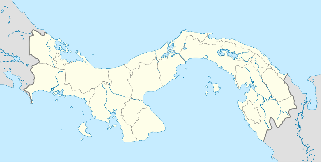
Taboga Island
Coordinates: 8°47′0″N 79°33′0″W / 8.78333°N 79.55000°W
| Native name: <span class="nickname" ">Isla Taboga Nickname: Island of Flowers | |
|---|---|
 | |
 Taboga Island | |
| Geography | |
| Location | Gulf of Panama |
| Coordinates | 8°47′0″N 79°33′0″W / 8.78333°N 79.55000°W |
| Area | 12.1 km2 (4.7 sq mi) |
| Administration | |
| Province | Panamá |
| District | Taboga |
| Demographics | |
| Population | 1.629 |
| Pop. density | 134.6 /km2 (348.6 /sq mi) |

Taboga Island (Spanish: Isla Taboga), also known as the "Island of Flowers", is a volcanic island in the Gulf of Panama. It is a tourist destination, about 20 km from Panama City, Panama.
History
The island was discovered in the 16th century and was originally named Isla de San Pedro by the Spanish explorer Vasco Núñez de Balboa.[1] Its current name derives from an Indian word aboga ("many fish"). The island's first settlers were Indian slaves from Venezuela and Nicaragua. The small town of San Pedro was founded in 1524 by Hernando de Luque, dean of the Panama cathedral. The town church of the same name is claimed to be the second-oldest church in the hemisphere. Rose of Lima (1586–1617), the first Catholic saint of the Americas, may have been born on the island.[2] French painter Paul Gauguin visited the island in 1887.[3]
Geography
At low tide, the northern end of the island is joined by a sand bar to the small island of El Morro, and the southeastern end is 270 metres (886 feet) from the neighboring Urabá island. The island has a tropical rain forest climate (Af), with average daytime temperatures of 83 °F (28 °C). It is famous for its beautiful beaches, clear waters, soft sands, and wildlife refuge.
Tourism
Tourism is the major economic activity on the island, although fishing and agriculture are also practiced. The island has become a popular touristic attraction due to its beautiful natural areas and its proximity to Panama City.[4] Daily ferries link the city to the island, most of them departing from the Amador Causeway.
Aside from beaches, the island has trails for hiking to its highest points, including Cerro Vigía and Cerro de la Cruz. The latter is a hill located south of the town, topped with a huge cross.[5] Boat tours for fishing, whale watching, snorkeling, and sightseeing are available, as well as walking and nature tours.
Taboga Island has small hotels and restaurants Calaloo Beach Fishbar & Grill on Playa Honda just 2 minutes from the pier, Agua Sol Villa, located on the water with a private beach entry from the hotels ocean deck; Ocean Rock Cafe and bar, ocean view from their hillside/rainforest location B and B Hotel Cerrito Tropical and Restaurant; Mundi's; and Hotel Vereda Tropical. All four have restaurants. Tours for hiking, nature and village walks, whale watching, fishing, and boating can be organized through Agua Sol Villa and B and B Hotel Cerrito Tropical. There is also a private vacation house rental, Tres Terrazas, for nightly or weekly stays.
Taboga also has the famous Cementerio do Taboga (Cemetery of Taboga) it is the oldest cemetery on the Island and is full of rich history and decorative headstones and graves.
References
- ↑ "Some History of Isla Taboga". Retrieved 2011-03-13.
- ↑ "Taboga History". Fundación Isla de Taboga. Retrieved 2011-03-13.
- ↑ "Taboga's tribute to Paul Gauguin". The Panama News. Retrieved 2011-03-13.
- ↑ "Un día de carnaval en Taboga" (in Spanish). La Prensa (Panamá). Retrieved 2011-03-13.
- ↑ "Places to Explore: Isla Taboga". Fodor's Travel Guides. Retrieved 2011-03-13.
External links
- Taboga Island The Island Of Flowers
- Taboga Fire Brigade (Spanish)
- Taboga Island
- Taboga Panamá (Spanish)