Tømmerneset
| Tømmerneset | |
|---|---|
| Village | |
|
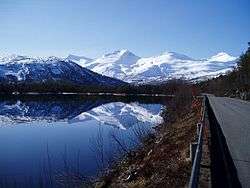
View near the village | |
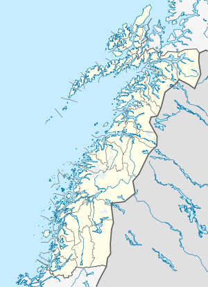 Tømmerneset  Tømmerneset Location in Nordland | |
| Coordinates: 67°53′56″N 15°51′34″E / 67.89889°N 15.85944°ECoordinates: 67°53′56″N 15°51′34″E / 67.89889°N 15.85944°E | |
| Country | Norway |
| Region | Northern Norway |
| County | Nordland |
| District | Salten |
| Municipality | Hamarøy |
| Elevation[1] | 51 m (167 ft) |
| Time zone | CET (UTC+01:00) |
| • Summer (DST) | CEST (UTC+02:00) |
| Post Code | 8260 Innhavet |
Tømmerneset is a village in the municipality of Hamarøy in Nordland county, Norway. It's located on the eastern shore of the lake Rotvatnet, about 50 kilometres (31 mi) south of the municipal centre, Oppeid. Tømmerneset is the site of Tømmernes Church. The village area is located where County Road 835 (and the Steigen Tunnel) branches off from the European Road E6 highway.[2]
Archaeology
There is rock art dating to the Stone Age "near the bridge over Sagelva".[3]
See also
References
- ↑ "Tømmerneset" (in Norwegian). yr.no. Retrieved 2012-05-04.
- ↑ Store norske leksikon. "Tømmerneset" (in Norwegian). Retrieved 2012-05-04.
- ↑ Tømmerneset
This article is issued from Wikipedia - version of the 7/31/2016. The text is available under the Creative Commons Attribution/Share Alike but additional terms may apply for the media files.