Sylvania Mountains
| Sylvania Mountains | |
|---|---|
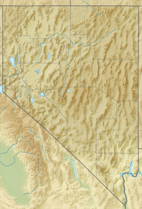 location of Sylvania Mountains in Nevada [1] | |
| Highest point | |
| Elevation | 2,416 m (7,927 ft) |
| Geography | |
| Country | United States |
| State | California and Nevada |
| District | Inyo County, California and Esmeralda County, Nevada |
| Range coordinates | 37°24′00″N 117°43′00″W / 37.4°N 117.7167°WCoordinates: 37°24′00″N 117°43′00″W / 37.4°N 117.7167°W |
| Topo map | USGS Sylvania Mountains |
The Sylvania Mountains are located in Inyo County, California and Esmeralda County, Nevada in the United States. The range trends in an east-west direction, north of the Last Chance Range at the northern end of Death Valley National Park.
The Last Chance Range and Death Valley are to the south, Slate Ridge is to the southeast, and the Palmetto Mountains are adjacent to the east.
Sylvania Mountains Wilderness
The Sylvania Mountains Wilderness protects over 18,000 acres (73 km2) of the range in California. It is managed by the Bureau of Land Management.[2]
References
- ↑ "Sylvania Mountains". Geographic Names Information System. United States Geological Survey. Retrieved 2009-05-04.
- ↑ BLM Sylvania Mountains Wilderness Area accessed 6/24/2010
This article is issued from Wikipedia - version of the 12/4/2014. The text is available under the Creative Commons Attribution/Share Alike but additional terms may apply for the media files.