Swiftwater Covered Bridge
|
Swiftwater Covered Bridge | |
 | |
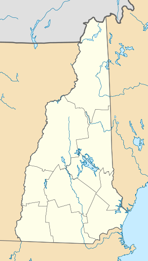  | |
| Nearest city | Bath, New Hampshire |
|---|---|
| Coordinates | 44°8′3″N 71°57′5″W / 44.13417°N 71.95139°WCoordinates: 44°8′3″N 71°57′5″W / 44.13417°N 71.95139°W |
| Area | 0.1 acres (0.040 ha) |
| Built | 1849 |
| Architectural style | Paddleford truss |
| NRHP Reference # | 76000127[1] |
| Added to NRHP | November 21, 1976 |
The Swiftwater Covered Bridge is a historic covered bridge which carries Valley Road over the Wild Ammonoosuc River in Bath, New Hampshire. The bridge, the fourth on the site, was built in 1849, and is a locally distinctive single-span Paddleford truss design, with laminated arches and steel beam reinforcements added in the 20th century. The bridge has an overall length of 173'8" and two clear spans of 77'6" and 57'6". The roadbed is 14'6" wide, with a vertical clearance of 12'9". It rests on lightly-mortared split granite abutments topped with concrete footings. The roof is made of corrugated metal, and the sides are sheathed in vertical planking to a height of eight feet. The bridge is said to have survived the use of explosives to clear logjams in the area.[2][3]
The bridge was added to the National Register of Historic Places in 1976.[1]
See also
- List of New Hampshire covered bridges
- List of bridges on the National Register of Historic Places in New Hampshire
- National Register of Historic Places listings in Grafton County, New Hampshire
References
- 1 2 National Park Service (2009-03-13). "National Register Information System". National Register of Historic Places. National Park Service.
- ↑ "NRHP nomination for Swiftwater Covered Bridge" (PDF). National Park Service. Retrieved 2014-04-16.
- ↑ "Swiftwater Bridge". New Hampshire DHR. Retrieved 2014-04-16.
| Topics |  | |
|---|---|---|
| Lists by county | ||
| Other lists | ||
| ||