Sutton Benger
| Sutton Benger | |
 All Saints Church, Sutton Benger |
|
 Sutton Benger |
|
| Population | 1,045 (in 2011)[1] |
|---|---|
| OS grid reference | ST947787 |
| Civil parish | Sutton Benger |
| Unitary authority | Wiltshire |
| Ceremonial county | Wiltshire |
| Region | South West |
| Country | England |
| Sovereign state | United Kingdom |
| Post town | CHIPPENHAM |
| Postcode district | SN15 |
| Dialling code | 01249 |
| Police | Wiltshire |
| Fire | Dorset and Wiltshire |
| Ambulance | South Western |
| EU Parliament | South West England |
| UK Parliament | North Wiltshire |
| Website | Parish Council |
Coordinates: 51°30′25″N 2°04′41″W / 51.507°N 2.078°W
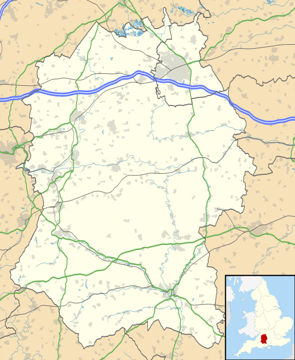
Sutton Benger is a village and civil parish in the county of Wiltshire, England, 5 miles (8.0 km) northeast of Chippenham.[2] The parish includes the hamlet of Draycot Cerne.
In the Survey of English Dialects, the recording from the village was one of the furthest away from Standard English that was recorded.[3]
Location
The Bristol Avon forms much of the eastern boundary of the parish.
The main road through the village was the A420 which ran from Bristol to Swindon and Oxford. Following the building of the M4 motorway this section was reclassified as the B4069.
Local government
The civil parish elects a parish council. It is in the area of Wiltshire Council unitary authority, which is responsible for all significant local government functions.
Draycot Cerne and Seagry, formerly separate parishes, were added to Sutton Benger in 1934. In 1971 all land north of the newly built M4 was transferred to a recreated Seagry parish.[4]
Amenities
The village has a primary school,[5] a post office[6] and a doctors surgery. The village hall has a recreation ground and a multi-use games area. Several community groups make use of the hall including a pre-school, Benger Bears,[7] a playgroup, WI and Over 60's group.
There is a pub - the Wellesley Arms,[8] a restaurant - La Flambé,[9] and a hotel/restaurant - The Bell House Hotel.[10]
The Anglican Church of All Saints is Grade II* listed.[11][12] It has 12th-century origins and a 15th-century tower; it was heavily restored in 1851.
St James's Church, Draycot Cerne was built around 1300 and declared redundant in 1994.
Economy
In 2008 Faccenda Group closed their chicken processing plant in the village, with the loss of 450 jobs, moving production to another site.[13][14]
Notable people
- William Fry (born 1627) of the Fry family who became prominent in confectionery and chocolate, lived in the village
- Rt Rev Christopher Lipscomb, vicar of Sutton Benger from 1818, became first Anglican Bishop of Jamaica
- Gabrielle Aplin (born 1992), singer-songwriter, brought up in the village
References
- ↑ "Wiltshire Community History - Census". Wiltshire Council. Retrieved 18 May 2015.
- ↑ OS Explorer Map 156, Chippenham and Bradford-on-Avon Scale: 1:25 000.Publisher: Ordnance Survey A2 edition (2007). ISBN 978-0319239438
- ↑ Dialect
- ↑ "Victoria County History - Wiltshire - Vol 14 pp186-194 - Parishes: Seagry". British History Online. University of London. Retrieved 18 May 2015.
- ↑ "Sutton Benger COE Aided Primary School". Retrieved 18 May 2015.
- ↑ "New home for Sutton Benger Post Office announced". The Wiltshire Gazette and Herald ». 21 March 2014. Retrieved 18 May 2015.
- ↑ Benger Bears
- ↑ "The Wellesley Arms". Retrieved 18 May 2015.
- ↑ "La Flambé". Retrieved 18 May 2015.
- ↑ "The Bell House Hotel". Retrieved 18 May 2015.
- ↑ Historic England. "Church of All Saints, Sutton Benger (1022403)". National Heritage List for England. Retrieved 18 May 2015.
- ↑ "Church of All Saints, Sutton Benger". Wiltshire Community History. Wiltshire Council. Retrieved 18 May 2015.
- ↑ McPherson, Scott (11 June 2008). "Calls to save Faccenda". Wiltshire Gazette & Herald. Retrieved 2009-09-06.
- ↑ Adams, Katie (12 June 2008). "Union urges factory closure rethink". Wiltshire Times & Chippenham News. Retrieved 2009-09-06.
External links
![]() Media related to Sutton Benger at Wikimedia Commons
Media related to Sutton Benger at Wikimedia Commons
- "Victoria County History - Wiltshire - Vol 14 pp221-229 - Parishes: Sutton Benger". British History Online. University of London. Retrieved 18 May 2015.
- "Sutton Benger". Wiltshire Community History. Wiltshire Council. Retrieved 18 May 2015.