Surigao Airport
| Surigao Airport Paliparan ng Surigao Tugpahanan sa Surigao | |||||||||||
|---|---|---|---|---|---|---|---|---|---|---|---|
|
Terminal of airport | |||||||||||
| IATA: SUG – ICAO: RPMS | |||||||||||
| Summary | |||||||||||
| Airport type | Public | ||||||||||
| Operator | Civil Aviation Authority of the Philippines | ||||||||||
| Serves | Surigao City | ||||||||||
| Location | Barangay Luna, Surigao City | ||||||||||
| Elevation AMSL | 6 m / 20 ft | ||||||||||
| Coordinates | 09°45′27″N 125°28′46″E / 9.75750°N 125.47944°ECoordinates: 09°45′27″N 125°28′46″E / 9.75750°N 125.47944°E | ||||||||||
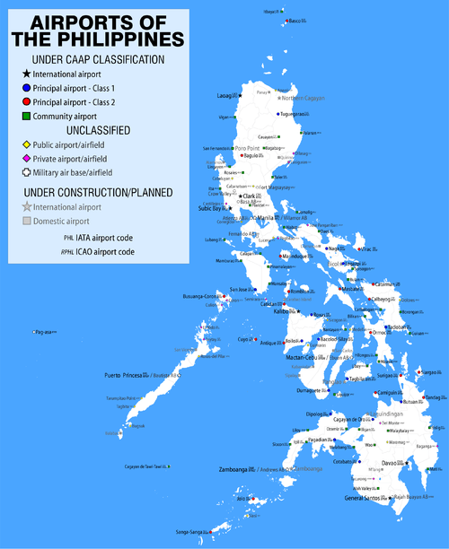
| Map | |||||||||||
.svg.png) SUG/RPMS Location in the Philippines | |||||||||||
| Runways | |||||||||||
| |||||||||||
| Statistics (2008) | |||||||||||
| |||||||||||
|
Statistics from the Civil Aviation Authority of the Philippines.[1] | |||||||||||

Surigao Airport (Filipino: Paliparan ng Surigao, Cebuano: Tugpahanan sa Surigao) (IATA: SUG, ICAO: RPMS) is an airport serving the general area of Surigao City, located in the province of Surigao del Norte in the Philippines. The airport is classified as a Class 2 principal (minor domestic) airport by the Civil Aviation Authority of the Philippines, a body of the Department of Transportation and Communications that is responsible for the operations of not only this airport but also of all other airports in the Philippines except the major international airports.
Airlines and destinations
| Airlines | Destinations |
|---|---|
| Cebgo | Cebu |
| Philippine Airlines operated by PAL Express | Manila |
See also
References
- ↑ "Philippine Aircraft, Passenger and Cargo Statistics 2001-2008". March 3, 2009. Retrieved April 21, 2009.
External links
This article is issued from Wikipedia - version of the 12/4/2016. The text is available under the Creative Commons Attribution/Share Alike but additional terms may apply for the media files.