Sunset Peak, Hong Kong
| Sunset Peak | |
|---|---|
 Yat Tung Estate and Sunset Peak, viewed from South Perimeter Road | |
| Highest point | |
| Elevation | 869 m (2,851 ft) |
| Coordinates | 22°15′26″N 113°57′10″E / 22.25722°N 113.95278°ECoordinates: 22°15′26″N 113°57′10″E / 22.25722°N 113.95278°E |
| Geography | |
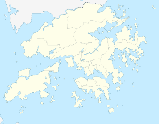 Sunset Peak Location of Sunset Peak in Hong Kong | |
| Location | Southern Lantau Island, Hong Kong |
Sunset Peak or Tai Tung Shan (Chinese: 大東山) is the third highest peak in Hong Kong. It is situated on Lantau Island within Lantau South Country Park and Lantau North Country Park and stands at a height of 869 metres (2,851 ft) above the sea level.[1][2] The second highest Lantau Peak is on the western part of the island.
Access
Sunset peak is only accessible by foot. It can be reached as a side trip on section 2 of the 70-km long Lantau Trail. Section 2 is 6.5 km long and goes from Nam Shan, a campsite very near Mui Wo on the South Lantau road (altitude about 120 m), to Pak Kung Au, another campsite on the Tung Chung road (altitude about 340 m). Both campsites are served by a number of bus routes going to Mui Wo, Tung Chung, and other destinations on Lantau island.[3]
See also
| Wikimedia Commons has media related to Sunset Peak. |
References
- ↑ 地理日記:大東山 二東山
- ↑ Lands Department (February 2011). "Hong Kong Geographic Data" (PDF). Retrieved 2011-04-29.
- ↑ Stage 2 Nam Shan to Pak Kung Au on hiking.gov.hk. The altitudes at Nam Shan and Pak Kung Au are taken from a local map.