Sunnyside-Central Terrace Historic District
|
Sunnyside-Central Terrace Historic District | |
  | |
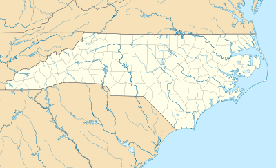
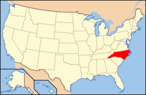
| Location | Roughly bounded by Haled, Junia, Monmouth, Glendale, Goldfloss, Brookline & Main Sts., Winston-Salem, North Carolina |
|---|---|
| Coordinates | 36°04′12″N 80°14′03″W / 36.07000°N 80.23417°WCoordinates: 36°04′12″N 80°14′03″W / 36.07000°N 80.23417°W |
| Area | 140 acres (57 ha) |
| Built | 1892 |
| Architectural style | Late Victorian, Late 19th And 20th Century Revivals |
| NRHP Reference # | 08000380[1] |
| Added to NRHP | May 8, 2008 |
Sunnyside-Central Terrace Historic District is a national historic district located at Winston-Salem, Forsyth County, North Carolina. The district encompasses 425 contributing buildings in a predominantly residential section of Winston-Salem. The buildings date from about 1892 to 1958, and include notable examples of Colonial Revival, Late Victorian, and Bungalow / American Craftsman style architecture. Notable buildings include the Arista Mills (1950), Farmers Cooperative Exchange (c. 1945), Southern Steel Stampings (c. 1945), E. T. Baity Oil Co. (c. 1940), Central Terrace Methodist Church (1925, 1957), and Pine Chapel Moravian Church (1928).[2]
It was listed on the National Register of Historic Places in 2008.[1]
References
- 1 2 National Park Service (2010-07-09). "National Register Information System". National Register of Historic Places. National Park Service.
- ↑ Sherry Joines Wyatt (August 2007). "Sunnyside-Central Terrace Historic District" (pdf). National Register of Historic Places - Nomination and Inventory. North Carolina State Historic Preservation Office. Retrieved 2014-11-01.
This article is issued from Wikipedia - version of the 11/30/2016. The text is available under the Creative Commons Attribution/Share Alike but additional terms may apply for the media files.

