Stoney Creek Township, Henry County, Indiana
| Stoney Creek Township | |
|---|---|
| Township | |
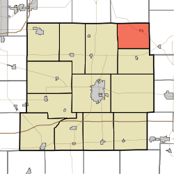 Location in Henry County | |
| Coordinates: 40°02′45″N 85°15′19″W / 40.04583°N 85.25528°WCoordinates: 40°02′45″N 85°15′19″W / 40.04583°N 85.25528°W | |
| Country | United States |
| State | Indiana |
| County | Henry |
| Government | |
| • Type | Indiana township |
| Area | |
| • Total | 19.92 sq mi (51.6 km2) |
| • Land | 19.31 sq mi (50.0 km2) |
| • Water | 0.61 sq mi (1.6 km2) 3.06% |
| Elevation | 1,112 ft (339 m) |
| Population (2010) | |
| • Total | 817 |
| • Density | 42.3/sq mi (16.3/km2) |
| GNIS feature ID | 0453877 |
Stoney Creek Township is one of thirteen townships in Henry County, Indiana, United States. As of the 2010 census, its population was 817 and it contained 348 housing units.[1]
Stony Creek Township was organized in 1828.[2] It was named for the stream which runs through it.[2]
Geography
According to the 2010 census, the township has a total area of 19.92 square miles (51.6 km2), of which 19.31 square miles (50.0 km2) (or 96.94%) is land and 0.61 square miles (1.6 km2) (or 3.06%) is water.[1]
Cities and towns
Adjacent townships
- Perry Township, Delaware County (north)
- Union Township, Randolph County (east)
- Blue River Township (south)
- Prairie Township (west)
Cemeteries
The township contains two cemeteries: Hodson and Rogersville.
Major highways
Airports and landing strips
- Starkeys Airport
References
- 1 2 "Population, Housing Units, Area, and Density: 2010 - County -- County Subdivision and Place -- 2010 Census Summary File 1". United States Census. Retrieved 2013-05-10.
- 1 2 Hazzard, George (1906). Hazzard's History of Henry County, Indiana, 1822-1906. G. Hazzard, author and publisher. pp. 882–883.
External links
Municipalities and communities of Henry County, Indiana, United States | ||
|---|---|---|
| City | ||
| Towns | ||
| Townships | ||
| Unincorporated communities | ||
| Footnotes | ‡This populated place also has portions in an adjacent county or counties | |
This article is issued from Wikipedia - version of the 10/13/2016. The text is available under the Creative Commons Attribution/Share Alike but additional terms may apply for the media files.