Star Mountains
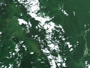
The Star Mountains (Dutch (colonial): Sterrengebergte; Indonesian Pegunungan Bintang) are a mountain range in western Papua New Guinea, stretching from the border with Indonesia, at about 5°S 141°E / 5°S 141°ECoordinates: 5°S 141°E / 5°S 141°E to the Hindenburg Range. They have an annual rainfall of more than 10,000 mm/year, and although no official scientific weather station has ever been established it has been claimed to be one of the wettest places on earth.[1]
The earlier Western expedition to the mountains was led by Jan Sneep, a Dutch colonial civil servant who operated from the Sibil Valley. The expedition, which started in April 1959, mapped the terrain and collected anthropological data of the people who lived in the area. The expedition used two small Bell helicopters, but the altitudes severely limited their effectiveness and one of them crashed, forcing the expedition to rely more on traditional man power. Climbers from the expedition reached the peak of Puncak Mandala on 9 September.[2]
References
- ↑ McKinnon, Rowan, Carillet, Jean-Bernand, Starnes, Dean (2008). Papua New Guinea and the Solomon Islands. Lonely Planet. p. 204. ISBN 1-74104-580-0.
- ↑ Jansen Hendriks, Gerda. "Sterrengebergte" (in Dutch). NPO. Retrieved 30 August 2016.