St. George's Bay (Nova Scotia)
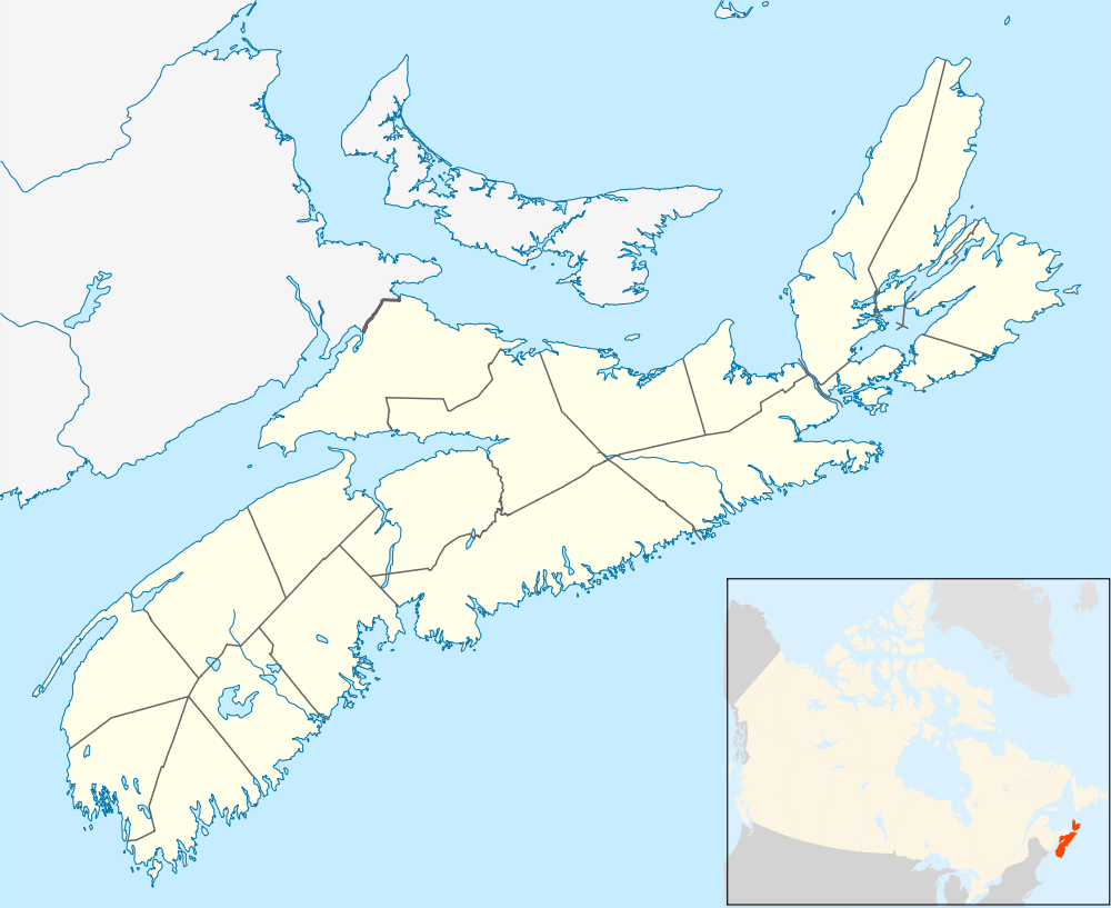
St. George's Bay[1] is a bay in the Canadian province of Nova Scotia. It is located on the north shore of the province fronting both the Nova Scotia peninsula and Cape Breton Island, thus comprising a sub-basin of the Gulf of St. Lawrence.
The bay measures approximately 25 kilometres (16 mi) wide at its mouth, between Cape George in the west, and Black Point in the east. Its western shore measures approximately 23 km (14 mi) in length from the northern tip of Cape George south to the entrance to Antigonish Harbour. Its southern shore measures approximately 43 km (27 mi) in length from the entrance to Antigonish Harbour through to the Strait of Canso at East Havre Boucher. The eastern shore measures approximately 42 km (26 mi) from Heffernan Point north to Black Point.
St. George's Bay marks the northern end of the Strait of Canso, one of three outlets for the Gulf of St. Lawrence. It is a busy coastal shipping route on account of the Canso Canal; the Canadian Coast Guard maintains a Vessel Traffic Service (VTS) for the bay called "Canso Traffic" with separation schemes defining sea lanes on nautical charts.
Islands

Islands within the bay include from northeast to south to northwest:
- Port Hood Island
- Henry Island
- within Havre Boucher
- Ile du Havre
- Crispos Island
- La Batture
- within Linwood Harbour
- Big Island
- Little Island
- within Tracadie Harbour
- Tracadie Big Island (barrier island)
- Flat Island
- Isaacs Island
- Perros Island
- Grahams Island
- Myettes Island
- McCalls Island
- Petitpas Island
- Pomquet Island
- within Pomquet Harbour
- Ile a Magotte
- Pomquet Harbour Island
- within Monks Head Harbour
- Morrell Island
- within Antigonish Harbour
- Captains Island
- Gooseberry Island
- Harris Island
- Black Island
- Long Island
- Sheep Island
- Fallis Island
- Reef Island
- Blueberry Island
Communities
Communities along the shoreline of St. George's Bay include (from northwest to south to northeast):
- Antigonish County
- Cape George Point
- Ballantynes Cove
- Cape George
- Lakevale
- West Lakevale
- Cribbons Point
- Morristown
- MacIsaacs Point
- Antigonish Harbour
- Jimtown
- Mahoneys Beach
- Harbour Centre
- Lanark
- Antigonish Landing
- Antigonish
- Greenwold
- Williams Point
- South River
- South River Station
- Southside Antigonish Harbour
- Monks Head
- Pomquet
- Upper Pomquet
- Pomquet Station
- Summerside
- Bayfield
- Afton
- Tracadie
- McCalls Island
- Big Tracadie
- Monastery
- East Tracadie
- West Linwood
- Linwood
- Cape Jack
- Havre Boucher
- East Havre Boucher
- Inverness County
- Troy
- Low Point
- Creignish
- Craigmore
- Long Point
- Judique South
- Judique
- Judique North
- Judique Intervale
- Little Judique
- Maryville
- Little Judique Ponds
- Harbourview
- Port Hood
- Marble Hill
- Port Hood Island
See also
References
Coordinates: 45°45′N 61°45′W / 45.75°N 61.75°W