South Virgin Mountains
| South Virgin Mountains | |
|---|---|
| Highest point | |
| Elevation | 1,189 m (3,901 ft) |
| Geography | |
| Country | United States |
| State | Nevada |
| District | Clark County |
| Range coordinates | 36°15′25″N 114°11′53″W / 36.2569°N 114.198°WCoordinates: 36°15′25″N 114°11′53″W / 36.2569°N 114.198°W |
| Topo map | USGS Gold Butte |
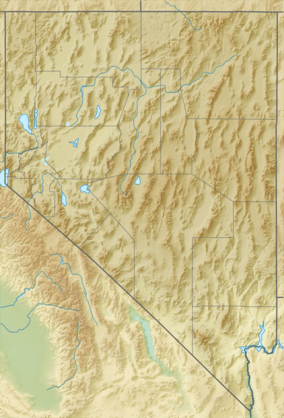
The South Virgin Mountains are a smaller mountain range of the eastern Mojave Desert, in Clark County, southeastern Nevada.[1]
They are located south of the larger Virgin Mountains range, east of the Virgin River leg of Lake Mead, and west of the Arizona Strip.
The South Virgin Mountains are within the jurisdiction of the BLM—Bureau of Land Management.
See also
References
- 1 2 "South Virgin Mountains". Geographic Names Information System. United States Geological Survey. Retrieved 2009-05-04.
This article is issued from Wikipedia - version of the 5/12/2014. The text is available under the Creative Commons Attribution/Share Alike but additional terms may apply for the media files.