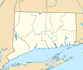
South Britain Historic District
|
South Britain Historic District | |
|
The Congregational church | |
  | |
| Location | E. Flat Hill, Hawkins, Library, and Middle Rds., and 497--864 S. Britain Rd., Southbury, Connecticut |
|---|---|
| Coordinates | 41°28′9″N 73°15′3″W / 41.46917°N 73.25083°WCoordinates: 41°28′9″N 73°15′3″W / 41.46917°N 73.25083°W |
| Architect | Clark,Zephania; Monumental Bronze Co. |
| Architectural style | Greek Revival, Colonial |
| NRHP Reference # | 87000125[1] |
| Added to NRHP | February 12, 1987 |
The South Britain Historic District in Southbury, Connecticut, United States, is a historic district that was listed on the National Register of Historic Places in 1987.[1] It represents the central portion of South Britain, an unincorporated village. The district is bordered by the Pomperaug River on the west. Water-powered mills, supplied by water from a South Britain Water Power Company reservoir, were the impetus for early development.
The village rivalled nearby Southbury Center. It was seat of Southbury, Connecticut town government until 1964.[2]:23
In 1987, the district included 46 contributing structures and 22 non-contributing ones.[2]
Contributing properties in the district include:
- B.C. Bradley House, 497 South Britain Road, from 1802 or earlier by assessor records, with cottage and shed of similar age
- H. Curtis House, 584-586 South Britain Road, of Colonial era, probably the oldest house in the district.[2]:8
- Miss H. E. and S. E. Canfield House, 524 South Britain Road, a Georgian style twin-chimney central-hall house "with Adamesque detail in its portico and cornice" from 1802 or earlier (see accompanying photo 2)[2]:8, 14
- George Smith House, 605 South Britain Road, a Greek Revival house, c. 1835, with cabin and garage from mid 1900s[2]:16
- Benjamin Downs House, 657 South Britain Road, a brick Greek Revival with marble dressing, from 1770 by assessor records[2]:8, 17
- Mrs. B. Chatfield House, 24 Hawkins Road, a brick Greek Revival, from 1850 (see photo 12)[2]:8
- Congregational Church, 683 South Britain Road, from 1825. Federal style with later Gothic window. (See photo 15)[2]:9, 18
- Methodist Church, "an austere example of the Greek Revival style", from 1832, in deteriorated condition in 1986. (See photos 15 and 18)[2]:9
- Town Hall, an 1873-built Italianate style building (see photo 10)[2]:9
Also included in the district is a steel-span bridge from 1939.
See also
References
- 1 2 National Park Service (2009-03-13). "National Register Information System". National Register of Historic Places. National Park Service.
- 1 2 3 4 5 6 7 8 9 10 David F. Ransom and John Herzan (May 6, 1986). "National Register of Historic Places Inventory-Nomination: South Britain Historic District" (PDF). National Park Service. and Accompanying 23 photos, from 1986
