Solar eclipse of March 7, 1598
| Solar eclipse of March 7, 1598 | |
|---|---|
 Map | |
| Type of eclipse | |
| Nature | Total |
| Gamma | 0.8893 |
| Magnitude | 1.0214 |
| Maximum eclipse | |
| Duration | 93 sec (1 m 33 s) |
| Coordinates | 47°42′N 8°12′W / 47.7°N 8.2°W |
| Max. width of band | 156 km (97 mi) |
| Times (UTC) | |
| Greatest eclipse | 10:10:01 |
| References | |
| Saros | 133 (22 of 72) |
| Catalog # (SE5000) | 8536 |
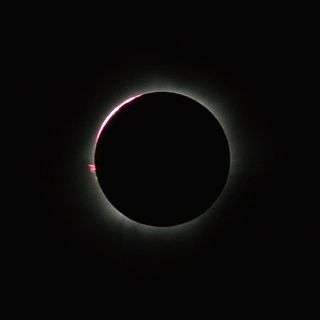
A total solar eclipse occurred on March 7, 1598. A solar eclipse occurs when the Moon passes between Earth and the Sun, thereby totally or partly obscuring the image of the Sun for a viewer on Earth. A total solar eclipse occurs when the Moon's apparent diameter is larger than the Sun's, blocking all direct sunlight, turning day into darkness. Totality occurs in a narrow path across Earth's surface, with the partial solar eclipse visible over a surrounding region thousands of kilometres wide. It was visible in the United Kingdom with a diagonal track from Cornwall in the south-west to Aberdeen in the north-east of Scotland.
Related eclipses
It is a part of solar Saros 133.
See also
References
| Wikimedia Commons has media related to Solar eclipse of 1598 March 7. |

This article is issued from Wikipedia - version of the 9/25/2016. The text is available under the Creative Commons Attribution/Share Alike but additional terms may apply for the media files.