Snowfield Peak
| Snowfield Peak | |
|---|---|
|
Snowfield Peak (left center skyline with cloud behind); The Needle (skyline, left of cloud); Big Devil Peak (left middle distance) | |
| Highest point | |
| Elevation | 8,351 ft (2,545 m) [1] |
| Prominence | 2,907 ft (886 m) [1] |
| Coordinates | 48°38′07″N 121°08′18″W / 48.63528°N 121.13833°WCoordinates: 48°38′07″N 121°08′18″W / 48.63528°N 121.13833°W [2] |
| Geography | |
 Snowfield Peak | |
| Parent range | Cascade Range |
| Topo map | USGS Diablo Dam |
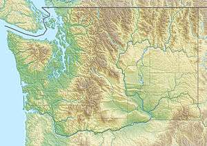
Snowfield Peak (8,351 feet (2,545 m)) is in North Cascades National Park in the U.S. state of Washington.[3] Located in the south unit of the park, Snowfield Peak is .70 mi (1.13 km) east of the summit known as Horsemans Pack and the Neve Glacier descends from the north slopes of the mountain.
References
- 1 2 "Snowfield Peak, Washington". Peakbagger.com. Retrieved July 21, 2013.
- ↑ "Snowfield Peak". Geographic Names Information System. United States Geological Survey. Retrieved July 21, 2013.
- ↑ Diablo Dam, WA (Map). TopoQwest (United States Geological Survey Maps). Retrieved July 21, 2013.
This article is issued from Wikipedia - version of the 2/25/2016. The text is available under the Creative Commons Attribution/Share Alike but additional terms may apply for the media files.