Skogerøytoppen
| Skogerøytoppen | |
|---|---|
| Ákkelgáisá | |
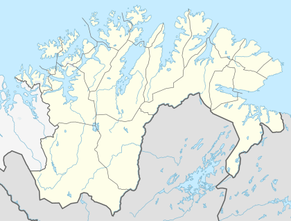 Skogerøytoppen Location in Finnmark | |
| Highest point | |
| Elevation | 445 m (1,460 ft) |
| Coordinates | 69°52′31″N 29°51′35″E / 69.87528°N 29.85972°ECoordinates: 69°52′31″N 29°51′35″E / 69.87528°N 29.85972°E |
| Geography | |
| Location | Finnmark, Norway |
Skogerøytoppen (Northern Sami: Ákkelgáisá) is the highest mountain on the island of Skogerøya in Sør-Varanger Municipality in Finnmark county, Norway. At 445 metres (1,460 ft) tall, it is the fifth-highest point in the municipality. Skogerøytoppen lies on the northern part of the island, overlooking the large Varangerfjorden.[1]
References
- ↑ "Skogerøytoppen" (in Norwegian). yr.no. Retrieved 2013-03-10.
This article is issued from Wikipedia - version of the 11/3/2016. The text is available under the Creative Commons Attribution/Share Alike but additional terms may apply for the media files.