Sira, India
| Sira, Karnataka. ಸಿರಾ | |
|---|---|
| City | |
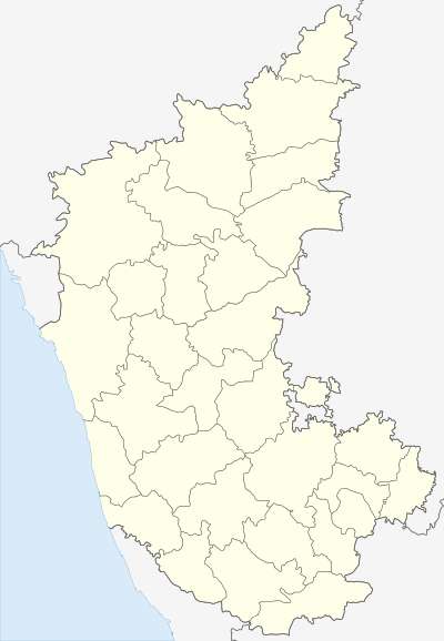 Sira, Karnataka. Location in Karnataka, India | |
| Coordinates: 13°44′42″N 76°54′32″E / 13.745°N 76.909°ECoordinates: 13°44′42″N 76°54′32″E / 13.745°N 76.909°E | |
| Country |
|
| State | Karnataka |
| District | Tumkur district |
| Government | |
| • Body | city municipal council |
| Area | |
| • Total | 17.47 km2 (6.75 sq mi) |
| Elevation | 661 m (2,169 ft) |
| Population (2011) | |
| • Total | 105,012 |
| • Density | 2,867.09/km2 (7,425.7/sq mi) |
| Languages | |
| • Official | Kannada |
| Time zone | IST (UTC+5:30) |
| PIN | 572 137 |
| Telephone code | 08135 |
| ISO 3166 code | IN-KA |
| Vehicle registration | KA-06,KA-64 |
| Website |
karnataka |
Sira is a City and taluk headquarters of Sira Taluk of Tumkur district in the state of Karnataka, India. It lies on the National Highway NH-48 (Pune - Chennai) and NH-234 (Mangalore - Villupuram).
Geography
Sira is located at 13°45′N 76°55′E / 13.75°N 76.91°E.[1] It has an average elevation of 662 metres (2171 feet).
Demographics
As of 2001 India census,[2] Sira had a population of 50,056. Males constitute 52% of the population and females 48%. Sira has an average literacy rate of 67%, higher than the national average of 59.5%: male literacy is 72%, and female literacy is 62%. In Sira, 13% of the population is under 6 years of age.
See also
References
- ↑ Falling Rain Genomics, Inc - Sira
- ↑ "Census of India 2001: Data from the 2001 Census, including cities, villages and towns (Provisional)". Census Commission of India. Archived from the original on 2004-06-16. Retrieved 2008-11-01.
External links
| Wikimedia Commons has media related to Sira, India. |
- Sira city
- Benjamin Rice, Lewis, Mysore: A Gazetteer Compiled for the Government, Volume I, Mysore In General, 1897a, Westminster: Archibald Constable and Company. Pp. xix, 834
- Archaeological Survey of India, Bangalore circle, List showing protected monuments (For Sira, see Sl. No: 198 & 199)
- Plea to protect fort in Sira (Story in Deccan Herald, Bangalore, May 19, 2008)
This article is issued from Wikipedia - version of the 11/23/2016. The text is available under the Creative Commons Attribution/Share Alike but additional terms may apply for the media files.