Silla Q'asa (Cochabamba)
This article is about the mountain in the Cochabamba Department, Bolivia. For other uses, see Silla Q'asa.
| Silla Q'asa | |
|---|---|
 Silla Q'asa Location within Bolivia | |
| Highest point | |
| Elevation | 4,480 m (14,700 ft) [1] |
| Coordinates | 17°05′12″S 66°26′33″W / 17.08667°S 66.44250°WCoordinates: 17°05′12″S 66°26′33″W / 17.08667°S 66.44250°W |
| Geography | |
| Location |
Bolivia, Cochabamba Department |
| Parent range | Andes |
Silla Q'asa (Quechua silla gravel, q'asa mountain pass,[2] "gravel pass", also spelled Silla Khasa) is a mountain in the Bolivian Andes which reaches a height of approximately 4,480 m (14,700 ft). It is located in the Cochabamba Department, Ayopaya Province, Morochata Municipality. It lies southeast and east of the lakes named Q'umir Qucha ("green lake", Khomer Khocha), Yana Qucha ("black lake", Yana Khocha), Parinani ("the one with flamingos") and Wallatani ("the one with Andean geese", Huallatani).[1][3]
References
- 1 2 Bolivia 1:100,000 Quillacollo 3636
- ↑ Teofilo Laime Ajacopa, Diccionario Bilingüe Iskay simipi yuyayk'ancha, La Paz, 2007 (Quechua-Spanish dictionary)
- ↑ "Morochata". INE, Bolivia. Retrieved April 1, 2016.
Capital: Cochabamba | ||
| Provinces | 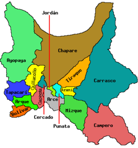 | |
| Municipalities (and seats) |
| |
This article is issued from Wikipedia - version of the 5/1/2016. The text is available under the Creative Commons Attribution/Share Alike but additional terms may apply for the media files.