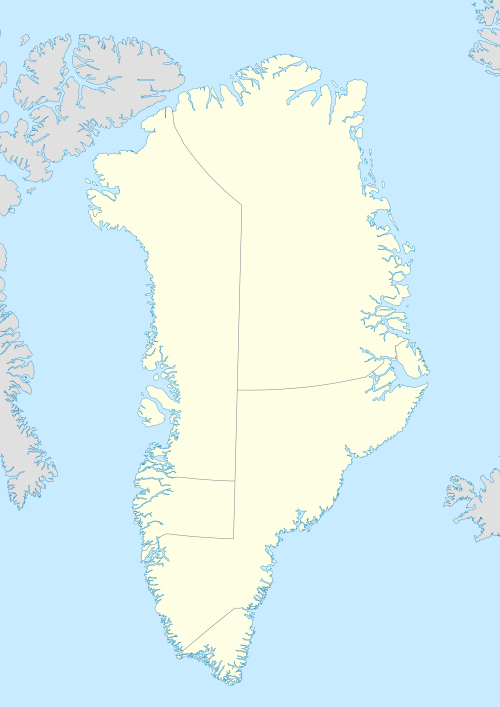
Nunavik Peninsula
| Svartenhuk Halvø | |
|---|---|
 Nunavik Peninsula | |
| Geography | |
| Location | W Greenland |
| Coordinates | 71°53′N 54°25′W / 71.883°N 54.417°WCoordinates: 71°53′N 54°25′W / 71.883°N 54.417°W |
| Adjacent bodies of water | |
| Highest elevation | 1,764 m (5,787 ft) |
| Administration | |
|
Greenland (Denmark) | |
| Municipality | Qaasuitsup |
Nunavik Peninsula (Danish: Svartenhuk Halvø) is a large peninsula in northwestern Greenland. It separates two cultural and geographical regions of northwestern Greenland: Uummannaq Fjord region in the southeast, and Upernavik Archipelago in the north.[1]
Geography
The peninsula extends to the south-west from mainland Greenland (71°49′N 54°25′W / 71.817°N 54.417°W).[2] The waters around the peninsula are that of Baffin Bay. To the south and southeast the peninsula is bounded by the Uummannaq Fjord system, an inlet of Baffin Bay. Ukkusissat Fjord carves deeply into the terrain, running south to north-east-north around the eastern part of the peninsula covered with the Sermikavasak glacier.
Inner fjords
Several fjords cut deep into the peninsula. Running from the western shore inland to then turn north, Sullua (4x50km) is the main waterway, cutting the peninsula into two parts, northwestern being the smaller. Parallel Umiiviup Kangerlua (4x8km) and Kangiusap Imaa (3x7km) fjord bays cut into the southeastern shore, branching off the Uummannaq Fjord system.
Settlements
The peninsula is administered as part of the Qaasuitsup municipality. It is largely uninhabited − permanent settlements are located in the Upernavik Archipelago off the north-west-northern coast of the peninsula,[3] including Upernavik Kujalleq, Kangersuatsiaq, Upernavik town, and Aappilattoq. There are several settlements on the islands off the southwestern coast, including Nuugaatsiaq and Illorsuit in the Uummannaq Fjord system. Ukkusissat is the only mainland settlement in the vicinity, located on the smaller, Ukkusissat Peninsula.
Geology
Rocks and sediments on Nunavik Peninsula are of Cretaceous and Paleocene origin,[4][5] with further layers deposited during the movement of Greenland[4] towards the North Pole. Similarly to the Uummannaq area, ancient volcanic basalts are exposed throughout the peninsula.[6]
References
- ↑ Nunavik, Saga Map, Tage Schjøtt, 1992
- ↑ geonames.org
- ↑ O'Carroll, Etain (2005). Greenland and the Arctic. Lonely Planet. p. 192. ISBN 1-74059-095-3.
- 1 2 Geological Survey of Denmark and Greenland Bulletin 14, 26-49
- ↑ 'Volcanic development in the Nuussuaq Basin, West Greenland', Lotte Melchior Larsen − in collaboration with Asger Ken Pedersen and Gunver Krarup Pedersen (Univ. Copenhagen) and Keld S. Dueholm (Techn. Univ. Copenhagen)
- ↑ Full 3D structure, tectonic development and modelling of the Svartenhuk inner-SDR wedge, M. Abdelmalak, M. Leroy, J.P. Gélard, R. Aite & L.Geoffroy (Geophysical Research Abstracts, Vol. 9, 02616, 2007)
External links
- 1:250000 map of the peninsula at Greenland-guide.gl