Shahhat
| Shahat شحات | |
|---|---|
| Town | |
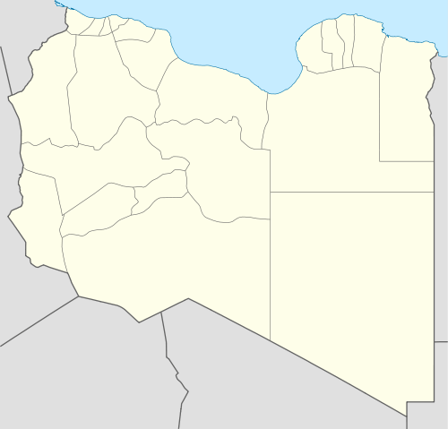 Shahat Location in Libya | |
| Coordinates: 32°49′40″N 21°51′44″E / 32.82778°N 21.86222°ECoordinates: 32°49′40″N 21°51′44″E / 32.82778°N 21.86222°E | |
| Country |
|
| Region | Cyrenaica |
| District | Jabal al Akhdar |
| Elevation[1] | 1,683 ft (513 m) |
| Population (2004)[1] | |
| • Total | 43,376 |
| Time zone | UTC +2 |
Shahhat (Arabic: شحات) is a town in the District of Jabal al Akhdar in north-eastern Libya.[2] Cyrene was located in the same area in ancient times. It is located 24 kilometres (15 mi) east of Bayda.
Shahhat is linked with Derna by two roads, the inner one running through Al Qubah is part of the Libyan Coastal Highway and the coastal one running through Susa and Ras al Helal.
During the Libyan Civil War, the city was one of the first to fall under rebel control.[3]
See also
References
- 1 2 Wolfram Alpha
- ↑ Maplandia world gazetteer
- ↑ http://blogs.aljazeera.net/africa/2011/02/23/live-blog-libya-feb-24#
External links

Shahhat
| Wikimedia Commons has media related to Shahhat. |
| Capital | ||
|---|---|---|
| Towns and villages | ||
This article is issued from Wikipedia - version of the 11/7/2014. The text is available under the Creative Commons Attribution/Share Alike but additional terms may apply for the media files.