Sers, Tunisia
| Sers | |
|---|---|
| Commune and town | |
 Sers | |
| Coordinates: TN 36°5′N 9°1′E / 36.083°N 9.017°E | |
| Country |
|
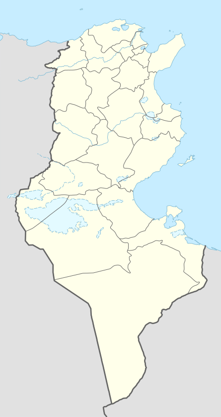
| Governorate | Kef Governorate |
| Population (2014) | |
| • Total | 23,259 |
| Time zone | CET (UTC+1) |
| Website | www.commune-sers.gov.tn |
Sers, also Le Sers or Es Sers, is a town and commune in the Kef Governorate, Tunisia. It is located 35.5 kilometres (22.1 mi) by road southeast of El Kef.[1] As of 2004 it had a population of 11,927.[2] Its economic activity is mainly dominated by agriculture, including cereal production.
It is located at the foot of Jebel Maiza (887 m) which is part of the Tunisian ridge. It is described as a "French railway town sitting in the middle of a vast natural bowl that contains some of the most fertile land in the country."[3] Its past dates back to antiquity, when it was the capital of the kingdom known as Zama Regia. Following the defeat of the Carthaginians at the Battle of Zama, Zama Regia was romanized as Thusca.
See also
References
- ↑ Maps (Map). Google Maps.
- ↑ (French) Recensement de 2004 (Institut national de la statistique)
- ↑ Jacobs, Daniel; Morris, Peter (1 January 2002). The Rough Guide to Tunisia. Rough Guides. p. 307. ISBN 978-1-85828-748-5. Retrieved 14 July 2012.
Coordinates: 36°05′N 9°01′E / 36.083°N 9.017°E