Schardam
| Schardam | ||
|---|---|---|
| Hamlet | ||
 | ||
| ||
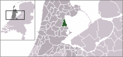 | ||
 The statistical district of Schardam in the former municipality of Zeevang. | ||
| Coordinates: 52°35′49″N 5°1′1″E / 52.59694°N 5.01694°ECoordinates: 52°35′49″N 5°1′1″E / 52.59694°N 5.01694°E | ||
| Country | Netherlands | |
| Province | North Holland | |
| Municipality | Edam-Volendam | |
| Area | ||
| • Total | 2.32 km2 (0.90 sq mi) | |
| Population (2009)[1] | ||
| • Total | 104 | |
| • Density | 45/km2 (120/sq mi) | |
| Time zone | CET (UTC+1) | |
| • Summer (DST) | CEST (UTC+2) | |
| Postal code | 1476 | |
| Dialing code | 0299 in the north, 0229 in the south | |

Schardam (West Frisian: Skerdam) is a small village in the Dutch province of North Holland. It is a part of the municipality of Edam-Volendam, and lies about 6 kilometres (3.7 mi) southwest of Hoorn.
Schardam was a separate municipality from 1817 to 1854, when it was merged with Beets.[2]
The statistical district "Schardam", which covers the village and the surrounding countryside, has a population of around 110.[3]
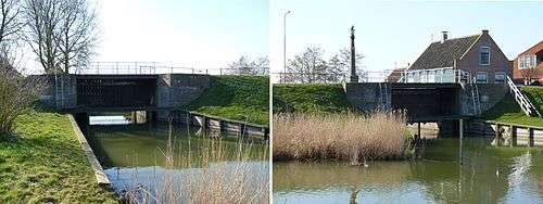
South and north canal locks at Schardam
References
This article is issued from Wikipedia - version of the 3/24/2016. The text is available under the Creative Commons Attribution/Share Alike but additional terms may apply for the media files.