Sarupeta
| Sarupeta | |
|---|---|
| town | |
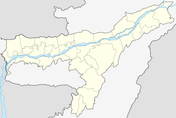 Sarupeta  Sarupeta Location in Assam, India | |
| Coordinates: 26°29′N 91°04′E / 26.49°N 91.07°ECoordinates: 26°29′N 91°04′E / 26.49°N 91.07°E | |
| Country |
|
| State | Assam |
| District | Barpeta |
| Government | |
| • Type | Municipal corporation |
| • Body | Nagar Palika |
| Elevation | 35 m (115 ft) |
| Population (2001) | |
| • Total | 41,175 |
| Languages | |
| • Official | Assamese |
| Time zone | IST (UTC+5:30) |
| PIN | 781318 |
| Vehicle registration | As-15-X-XXXX |
| Website |
barpeta |
Sarupeta is a town in Barpeta district, India.[1] The town is located 90 kilometres (56 mi) north west of Gauhati.
Etymology
The word Sarupeta derives from "Saru" meaning small and "Peta" meaning pond, thus Sarupeta means "land of small ponds".
Geography
It is located at 26°29′N 91°04′E / 26.49°N 91.07°E. It has an average elevation of 35 metres (114 feet). It is 44 km away from Manas National Park.
See also
References
- ↑ "SARUPETA, BARPETA, ASSAM". pincode.org.in. Retrieved 2015-09-18.
External links
This article is issued from Wikipedia - version of the 10/19/2016. The text is available under the Creative Commons Attribution/Share Alike but additional terms may apply for the media files.