Santa Elena District, La Cruz
| Santa Elena | |
|---|---|
|
District | |
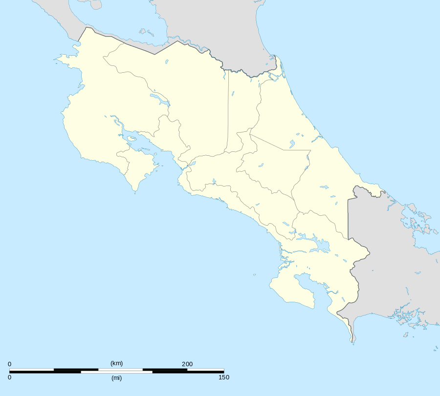 Santa Elena Location in Costa Rica | |
| Coordinates: 10°56′38″N 85°41′01″W / 10.94389°N 85.68361°W | |
| Country | Costa Rica |
| Province | Guanacaste |
| Canton | La Cruz |
| Area | |
| • Total | 507.31 km2 (195.87 sq mi) |
| Elevation | 10 m (30 ft) |
| Population (June 2013) | |
| • Total | 2,529 |
| • Density | 5.0/km2 (13/sq mi) |
| Postal code | 51004 |
Santa Elena District is a district in the canton of La Cruz, Guanacaste Province in Costa Rica.[1]
The district has a population of around 2,500 people.[2]
Villages
Administrative center of the district is the village of Cuajiniquil.
Other villages in the district are Cedros, Guaria, Puerto Castilla and Rabo de Mico (Aguacaliente).[1]
References
- 1 2 "Santa Elena". Retrieved 2015-03-25.
- ↑ Estadísticas Vitales 2013 - INEC
This article is issued from Wikipedia - version of the 3/25/2015. The text is available under the Creative Commons Attribution/Share Alike but additional terms may apply for the media files.