Sangia Nibandera Airport
| Sangia Nibandera Airport Bandara Sangia Nibandera | |||||||||||
|---|---|---|---|---|---|---|---|---|---|---|---|
| IATA: PUM – ICAO: none | |||||||||||
| Summary | |||||||||||
| Airport type | Public | ||||||||||
| Operator | Government | ||||||||||
| Serves | Kolaka | ||||||||||
| Location | Kolaka Regency, South East Sulawesi, Sulawesi Island, Indonesia | ||||||||||
| Elevation AMSL | 13 m / 43 ft | ||||||||||
| Coordinates | 004°20′29″S 121°31′26″E / 4.34139°S 121.52389°ECoordinates: 004°20′29″S 121°31′26″E / 4.34139°S 121.52389°E | ||||||||||
| Map | |||||||||||
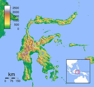 Sangia Nibandera Airport Location in Sulawesi | |||||||||||
| Runways | |||||||||||
| |||||||||||
Sangia Nibandera Airport is an airport in Kolaka Regency, Indonesia.
Airlines and destinations
The following destinations are served from Sangia Nibandera Airport:
| Airlines | Destinations |
|---|---|
| Express Air | Makassar |
| Garuda Indonesia | Makassar |
| Susi Air | Bone |
| Wings Air | Makassar |
References
This article is issued from Wikipedia - version of the 12/5/2016. The text is available under the Creative Commons Attribution/Share Alike but additional terms may apply for the media files.