Salluit Airport
| Salluit Airport | |||||||||||
|---|---|---|---|---|---|---|---|---|---|---|---|
| IATA: YZG – ICAO: none – TC LID: CYZG | |||||||||||
| Summary | |||||||||||
| Airport type | Public | ||||||||||
| Operator | Administration Régionale Kativik | ||||||||||
| Location | Salluit, Quebec | ||||||||||
| Time zone | EST (UTC−05:00) | ||||||||||
| • Summer (DST) | EDT (UTC−04:00) | ||||||||||
| Elevation AMSL | 745 ft / 227 m | ||||||||||
| Coordinates | 62°10′46″N 075°40′02″W / 62.17944°N 75.66722°WCoordinates: 62°10′46″N 075°40′02″W / 62.17944°N 75.66722°W | ||||||||||
| Map | |||||||||||
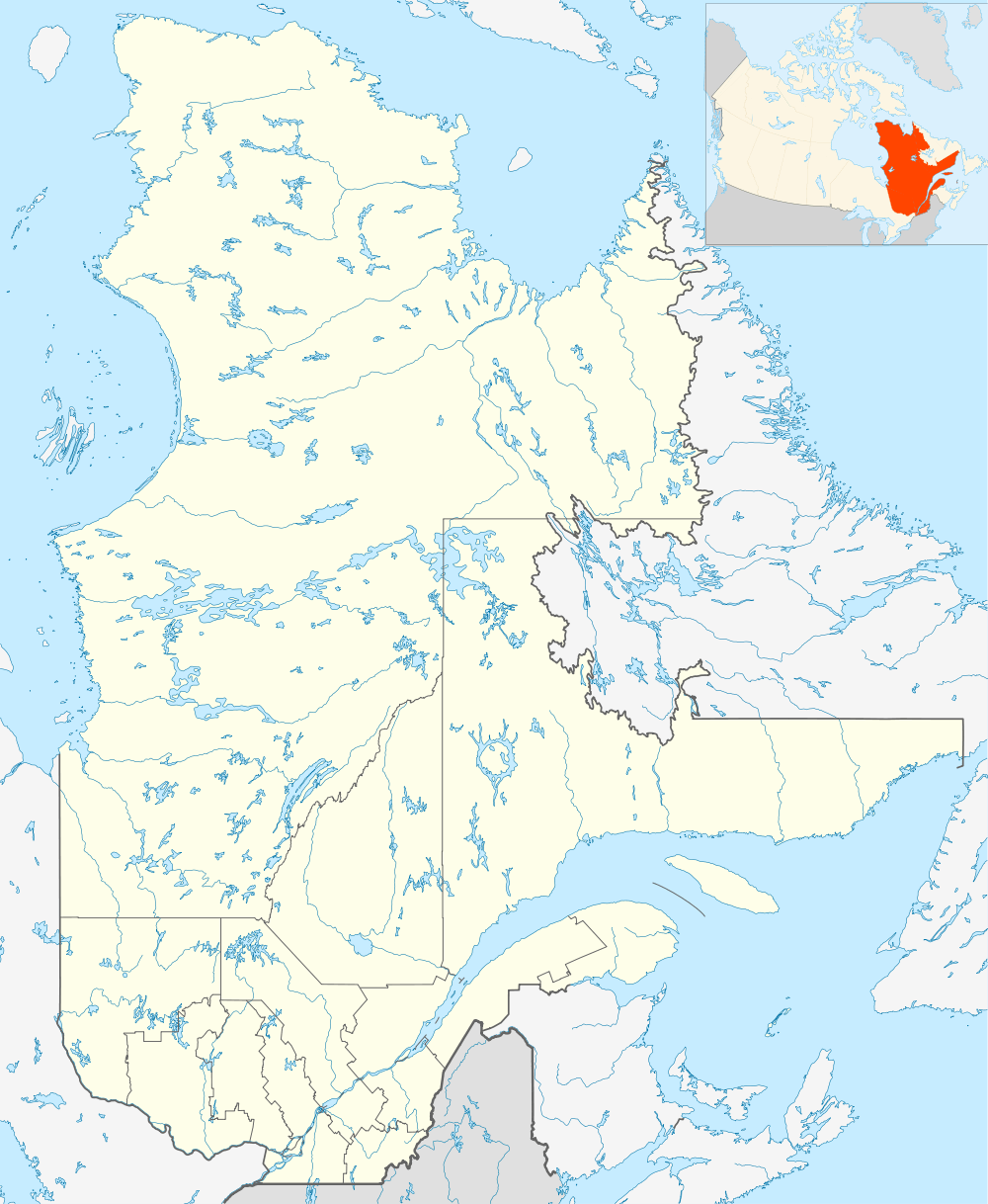 CYZG Location in Quebec | |||||||||||
| Runways | |||||||||||
| |||||||||||
| Statistics (2010) | |||||||||||
| |||||||||||
Salluit Airport, (IATA: YZG, ICAO: CYZG), is located near the community of Salluit, Quebec, Canada. There are no roads into Salluit so the airport provides the only means for the residents to access southern Quebec.
Scheduled service is provided by Air Inuit using Twin Otter and Dash 8 aircraft several times a week.
Airlines and destinations
| Airlines | Destinations |
|---|---|
| Air Inuit | Akulivik, Aupaluk, Inukjuak, Ivujivik, Kangiqsujuaq, Kangirsuk, Kuujjuaq, Kuujjuarapik, Montreal, Puvirnituq, Quaqtaq, Quebec City, Sanikiluaq, Schefferville, Tasiujaq, Umiujaq |
References
- ↑ Canada Flight Supplement. Effective 0901Z 15 September 2016 to 0901Z 10 November 2016
- ↑ Total aircraft movements by class of operation
External links
- Past three hours METARs, SPECI and current TAFs for Salluit Airport from Nav Canada as available.
| By name | |
|---|---|
| By location indicator | |
| By province/territory | |
| By region | |
| National Airports System | |
| Related | |
| |
This article is issued from Wikipedia - version of the 12/4/2016. The text is available under the Creative Commons Attribution/Share Alike but additional terms may apply for the media files.