Sai Wan Ho
Sai Wan Ho is a primarily residential area on the northeastern shore of Hong Kong Island, Hong Kong, between Quarry Bay and Shau Kei Wan. It is part of the Eastern District, and is administered together with surrounding areas under the Eastern District Council.
Location
Sai Wan Ho is conventionally agreed to extend between the Taikoo Shing Road, Shau Kei Wan Road and King's Road junction to the west, and the Shau Kei Wan tram depot in the east. It is bounded by the Victoria Harbour to the north, and mountains to the south.
Housing
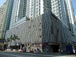
Sai Wan Ho is primarily residential. The hill was once filled with squatter settlements, which were later demolished and replaced with new residential buildings. Taikoo Shing, redeveloped from Taikoo Dockyard, spans the east end of the area. From the 1980s through the 2000s, extensive reclamation drastically reshaped the shore. Private housing estates were built near the new sea front, like Lei King Wan, Les Saisons and Grand Promenade. However, older buildings such as Tai On Building still remain further inland.
Amenities
Sai Wan Ho Civic Centre.
Transport

Shau Kei Wan Road, Sai Wan Ho
Institutes
 |
Wikimedia Commons has media related to Sai Wan Ho. |
| |
|---|
|
Main borders and locations |
|
|


