Sámara
| Sámara | |
|---|---|
|
District and town | |
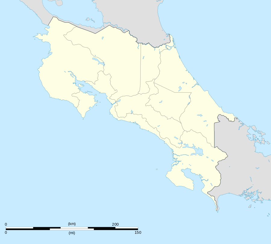 Sámara Location in Costa Rica | |
| Coordinates: 9°52′56″N 85°31′47″W / 9.88222°N 85.52972°W | |
| Country | Costa Rica |
| Province | Guanacaste |
| Canton | Nicoya |
| Area | |
| • Total | 109.51 km2 (42.28 sq mi) |
| Elevation | 3 m (10 ft) |
| Population (June 2013) | |
| • Total | 4,105 |
| • Density | 37/km2 (97/sq mi) |
| Postal code | 50205 |
Sámara, situated along the Pacific Coast of Costa Rica's Guanacaste Province,[1] has long been a favorite vacation spot for both Costa Ricans and foreigners. The town has approximately 1500 full-time residents and the district has a population of around 4,100 people.[2]
Villages
Administrative center of the district is the town of Sámara.
Other villages in the district are Bajo Escondido, Barco Quebrado, Buenavista, Buenos Aires, Cambutes, Cangrejal, Cantarrana, Chinampas, Esterones, Galilea, Palmar, Panamá, Playa Buena Vista, Primavera, Pueblo Nuevo, Samaria, Santo Domingo, Taranta, Terciopelo and Torito.[1]
Tourism
This region was popular long before the arrival of foreign tourists by locals in the immediate area for weekend enjoyment, and by "weekenders" and summer-home owners from the capital of San Jose. The quality of the beaches in Sámara and neighboring Carrillo made the area a high priority region of tourism industry development for the Costa Rican government shortly after the opening of Liberia's Daniel Oduber International Airport. Because the beach is accessible from three of Costa Rica's four international airports, influential business owners and well connected landowners were able to secure government-funded improvements to the highway and beach infrastructure earlier than competing tourism regions like Nosara and Guiones, providing easy access to the virtually pristine beaches and calm ocean waters.
Transportation
Sámara is located approximately 35 km from Nicoya, the economic and administrative hub of the region.
Access to Sámara is via paved roads. The paving of the final 35 km of the drive, "Road 150" from Nicoya to Sámara on through to Carrillo was completed in early 2006. Public buses operate between Sámara and Nicoya; express buses operated by Empresa Alfaro connect Sámara with San Jose.
Air service is provided by Sansa Airlines to the small Carrillo Airport, about 5 km east of Sámara.
References
- 1 2 "Sámara". Retrieved 2015-03-25.
- ↑ Estadísticas Vitales 2013 - INEC
External links
- www.isamara.co
- www.costaricaproperties.info for rentals and property management in town.
Coordinates: 9°53′N 85°32′W / 9.883°N 85.533°W