Rue des Boulets (Paris Métro)
Rue des Boulets | |||||||||||
|---|---|---|---|---|---|---|---|---|---|---|---|
| Paris Métro station | |||||||||||
 | |||||||||||
| Location |
11th arrondissement of Paris Île-de-France France | ||||||||||
| Coordinates | 48°51′07″N 2°23′25″E / 48.851811°N 2.390151°ECoordinates: 48°51′07″N 2°23′25″E / 48.851811°N 2.390151°E | ||||||||||
| Owned by | RATP | ||||||||||
| Operated by | RATP | ||||||||||
| Other information | |||||||||||
| Fare zone | 1 | ||||||||||
| History | |||||||||||
| Opened | 10 December 1933 | ||||||||||
| Services | |||||||||||
| |||||||||||
| Location | |||||||||||
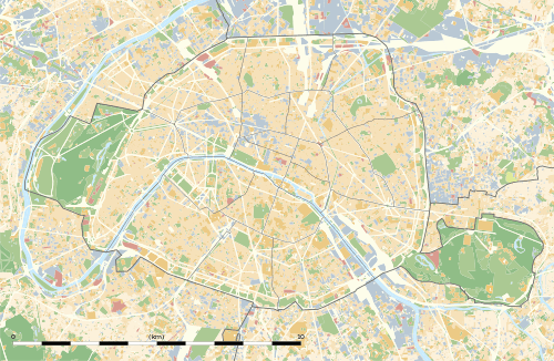 Rue des Boulets Location within Paris | |||||||||||
Rue des Boulets is a station on line 9 of the Paris Métro.
The station was opened on 10 December 1933 with the extension of the line from Richelieu - Drouot to Porte de Montreuil. It was originally called Rue des Boulets - Rue de Montreuil, and later Boulets - Montreuil. In 1998 it was renamed after the Rue des Boulets. The street (which has had its current name since 1672) is part of the old road between Saint-Denis and Saint-Maur.
Station layout
| Street Level |
| B1 | Mezzanine |
| Line 9 platforms | ||
| Westbound | ← | |
| Eastbound | | |
Gallery
 Street-level entrance at Rue des Boulets
 Line 9 platforms at Rue des Boulets
| Wikimedia Commons has media related to Rue des Boulets (Paris Metro). |
References
- Roland, Gérard (2003). Stations de métro. D’Abbesses à Wagram. Éditions Bonneton.
This article is issued from Wikipedia - version of the 11/18/2016. The text is available under the Creative Commons Attribution/Share Alike but additional terms may apply for the media files.