Rotvær Lighthouse
 Nordland | |
| Location |
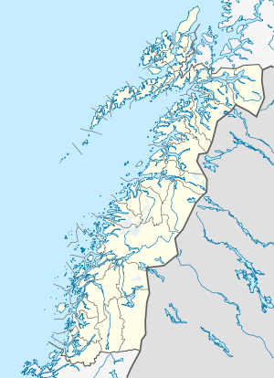
Flugǿya Island Lødingen Nordland Norway |
|---|---|
| Coordinates | 68°22′04.3″N 15°56′41.3″E / 68.367861°N 15.944806°ECoordinates: 68°22′04.3″N 15°56′41.3″E / 68.367861°N 15.944806°E |
| Year first constructed | 1914 (first) |
| Year first lit | 1985 (current) |
| Automated | 1985 |
| Construction | fiberglass tower |
| Tower shape | cylindrical tower with balcony and lantern |
| Markings / pattern | white and black bands tower, red lantern roof |
| Height | 12 metres (39 ft) |
| Focal height | 21.6 metres (71 ft) |
| Intensity | 25,400 candela |
| Range | 13 nmi (24 km; 15 mi) |
| Characteristic | Oc WRG 6s. |
| Admiralty number | L2785 |
| NGA number | 11292 |
| ARLHS number | NOR-189 |
| Norway number | NF-7345 |
Rotvær Lighthouse (Norwegian: Rotvær fyr) was a coastal lighthouse in the municipality of Lødingen in Nordland county, Norway. The lighthouse sits at the east end of the island of Fugløya, part of dangerous reef at the entrance to the Ofotfjorden, about 6 kilometres (3.7 mi) south of the village of Lødingen.
History
The lighthouse was first lit in 1914 and it was electrified and automated in 1985. The light is white, red, or green light depending on the viewing direction and it is occulting once every 6 seconds.[1][2][3][4]
See also
References
- ↑ Godal, Anne Marit (ed.). "Rotvær fyr". Store norske leksikon (in Norwegian). Norsk nettleksikon. Retrieved 7 January 2012.
- ↑ "Rotvær fyrstasjon" (in Norwegian). Norsk Fyrhistorisk Forening. Retrieved 7 January 2012.
- ↑ Rowlett, Russ (19 July 2011). "Lighthouses of Norway: Bodø and Narvik Areas". University of North Carolina at Chapel Hill. Retrieved 2012-06-12.
- ↑ Kystverket (2011). Norske Fyrliste 2011 (PDF) (in Norwegian). ISBN 9788245010398.
External links
- Norsk Fyrhistorisk Forening (Norwegian)
This article is issued from Wikipedia - version of the 3/8/2016. The text is available under the Creative Commons Attribution/Share Alike but additional terms may apply for the media files.