Rossel Island
| Native name: Yela Island | |
|---|---|
|
Rossel as seen from space. | |
 Rossel Island | |
| Geography | |
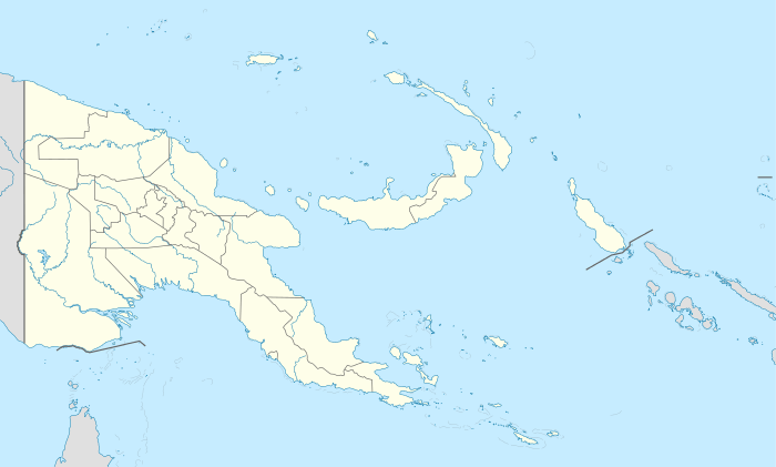
| Location | Oceania |
| Coordinates | 11°13′S 154°05′E / 11.21°S 154.09°ECoordinates: 11°13′S 154°05′E / 11.21°S 154.09°E[1] |
| Archipelago | Louisiade Archipelago |
| Adjacent bodies of water | Solomon Sea |
| Total islands | 1 |
| Major islands |
|
| Area | 292.5 km2 (112.9 sq mi) |
| Length | 34 km (21.1 mi) |
| Width | 11 km (6.8 mi) |
| Highest elevation | 838 m (2,749 ft) |
| Highest point | Mount Rossel |
| Administration | |
| Province |
|
| District | Samarai-Murua District |
| LLG [2] | Yaleyamba Rural Local Level Government Area |
| Island Group | Rossell Islands |
Largest settlement |
Jinjo (population ~900) |
| Demographics | |
| Demonym | Papuan people |
| Population | 5553 (2014) |
| Pop. density | 19 /km2 (49 /sq mi) |
| Ethnic groups | Papauans, Austronesians, Melanesians. |
| Additional information | |
| Time zone | |
| Official website |
www |
| ISO Code = PG-MBA | |
.JPG)
Rossel Island (named after de Rossel, a senior officer on the French expedition of d'Entrecasteaux, 1791-1793; also known as Yela) is the easternmost island of the Louisiade Archipelago, which itself is part of the Milne Bay Province of Papua New Guinea. Tree Islet is situated 1.5 miles (2.4 km) to the north-west, while Wule Island is situated 1.5 miles (2.4 km) westward.[3]
Geography
The mountainous island measures 34 kilometres (21 mi) east-west, and is up to 11 kilometres (6.8 mi) wide. With an area of 292.5 square kilometres (112.9 sq mi), it is the second largest island of the archipelago, after Vanatinai. The higher parts of the island are almost constantly cloud-capped during the southeast monsoon.[4] The mountain ridges form short, narrow crests, with occasional peaks; their outline is smooth, and the ridges are covered with vegetation. Most of the shoreline is either bordered by mangroves, with occasional sandy beaches, or covered with jungle. From the bluff to the island's north point, very steep hills slope down to the shore. Between the north point of the island and Cape Deliverance are some well-wooded valleys. The south side of the island consists of numerous points and bays, with steep hill ridges descending to the sea from the high mountain range above.[3]
- Mount Rossel
The highest elevation is Mount Rossel, near the eastern end of the island, which rises 838 metres (2,749 ft). This precipitous peak has steep ridges extending to the north and west, but it descends in more gentle slopes southeast to Cape Deliverance, the eastern end of the island. The southwest ridge has two conspicuous peaks each 549 metres (1,801 ft) high. The eastern peak, Mount Mo, is flat-topped. The western peak is conical. At the western end of the island is a conspicuous conical peak 347 metres (1,138 ft) high.[4]
- Reef
The fringing coral reef encloses the large Rossel Lagoon in the west and a smaller lagoon one in the east. Rossel Lagoon extends almost 40 kilometres (25 mi) from the northwestern point of the island to Rossel Passage at the western end of the fringing reef. The barrier reef encircling this lagoon is narrow and has four passages through it west of the island. The barrier reef on the south side of the island is unbroken east of Rossel Passage. General depths in the lagoon range from 37–64 metres (121–210 ft), but numerous scattered shoals lie in it. Few of these shoals dry and the larger ones are usually awash. Since the water is so clear the shoals can usually be distinguished in good light.[4]
Flora and fauna
Rossel Island is thickly wooded and nearly the whole south coast is a dense forest.[4] Grassy patches are occasional.[3]
Demographics
In 2014, the population was 5,553, spread across 31 villages. The main village is Jinjo, on the east coast. The indigenous people speak the Yélî Dnye language, a language isolate.[4]
References
- ↑ Prostar Sailing Directions 2004 New Guinea Enroute, p. 168
- ↑ LLG map
- 1 2 3 Admiralty hydrography department (1879). The Australia directory. Vol.2. 2nd-6th ed. (Public domain ed.). pp. 553–. Retrieved 30 December 2012.
- 1 2 3 4 5 Pub164, 2004 Sailing Directions (Enroute): New Guinea. ProStar Publications. 1 January 2004. pp. 155, 169, 170, 171–. ISBN 978-1-57785-569-9. Retrieved 30 December 2012.