Roche de la Muzelle
| Roche de la Muzelle | |
|---|---|
 North side of the mountain | |
| Highest point | |
| Elevation | 3,465 m (11,368 ft) |
| Prominence | 546 m (1,791 ft) |
| Coordinates | 44°55′52″N 6°06′19″E / 44.93111°N 6.10528°ECoordinates: 44°55′52″N 6°06′19″E / 44.93111°N 6.10528°E |
| Geography | |
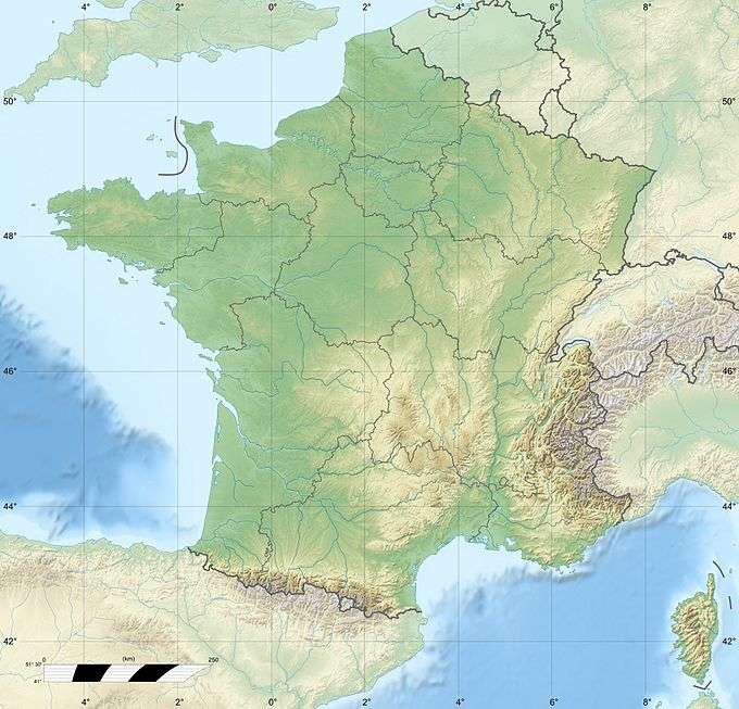 Roche de la Muzelle France | |
| Location | Isère, France |
| Parent range | Dauphine Alps |
| Climbing | |
| First ascent | 2 July 1875 by W. A. B. Coolidge with Ulrich and Christian Almer |
| Easiest route | PD glacier/rock |
The Roche de la Muzelle (3,465m) is the most western peak of the Massif des Ecrins.[1] Located near Les Deux Alpes, the mountain - with its beautiful pyramid - dominates the resort from the south.[2]
Guides
- Le massif des ecrins - les 100 plus belles courses et randonnées, by Gaston Rebuffat
References
External links
This article is issued from Wikipedia - version of the 5/24/2015. The text is available under the Creative Commons Attribution/Share Alike but additional terms may apply for the media files.