Roanoke Canal
|
Roanoke Canal | |
  | |
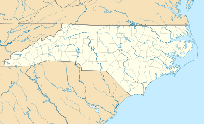
| Location | Roanoke Rapids Lake SE to Weldon, near Roanoke Rapids, North Carolina |
|---|---|
| Coordinates | 36°27′01″N 77°37′54″W / 36.45028°N 77.63167°WCoordinates: 36°27′01″N 77°37′54″W / 36.45028°N 77.63167°W |
| Area | 140 acres (57 ha) |
| Built | 1819-1823, 1892, c. 1904 |
| Architect | Fulton, Hamilton |
| NRHP Reference # | 76001328[1] |
| Added to NRHP | October 8, 1976 |
Roanoke Canal is a historic canal located near Roanoke Rapids, Halifax County, North Carolina. It was built as part of the Roanoke Navigation System and extends from Roanoke Rapids Lake southeast seven miles to the canal's return into the Roanoke River at Weldon, North Carolina. The Roanoke Navigation System was planned to connect the Blue Ridge Mountains and the Atlantic Ocean. The earliest sections were built under the direction of civil engineer Hamilton Fulton. Extant structures include the middle or lift locks, the aqueduct (1821-1823), and the three-story brick mill (1892) and powerhouse (c. 1904).[2]
It was listed on the National Register of Historic Places in 1976.[1]
References
- 1 2 National Park Service (2010-07-09). "National Register Information System". National Register of Historic Places. National Park Service.
- ↑ Brent Glass (n.d.). "Roanoke Canal" (pdf). National Register of Historic Places - Nomination and Inventory. North Carolina State Historic Preservation Office. Retrieved 2015-01-01.
External links
This article is issued from Wikipedia - version of the 11/30/2016. The text is available under the Creative Commons Attribution/Share Alike but additional terms may apply for the media files.

