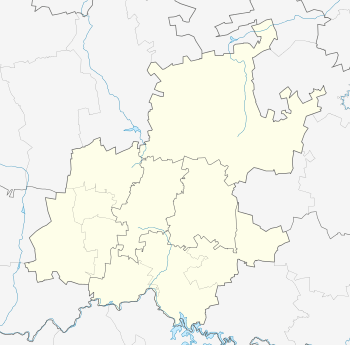
Risiville
| Risiville | |
|---|---|
 Risiville  Risiville  Risiville
| |
| Coordinates: 26°38′S 27°58′E / 26.633°S 27.967°ECoordinates: 26°38′S 27°58′E / 26.633°S 27.967°E | |
| Country | South Africa |
| Province | Gauteng |
| District | Sedibeng |
| Municipality | Midvaal |
| Main Place | Meyerton |
| Area[1] | |
| • Total | 4.49 km2 (1.73 sq mi) |
| Population (2011)[1] | |
| • Total | 4,005 |
| • Density | 890/km2 (2,300/sq mi) |
| Racial makeup (2011)[1] | |
| • Black African | 13.3% |
| • Coloured | 0.8% |
| • Indian/Asian | 0.5% |
| • White | 84.2% |
| • Other | 1.2% |
| First languages (2011)[1] | |
| • Afrikaans | 74.3% |
| • English | 15.4% |
| • Sotho | 4.6% |
| • Zulu | 1.4% |
| • Other | 4.4% |
| Postal code (street) | 1929 |
Risiville is located on the northern side of Vereeniging, Gauteng, South Africa. Risiville falls under the Midvaal Local Municipality. As far as property prices are concerned, the second highest prices for houses in the Midvaal Area were recorded in Risiville (2007).[2]
Risiville is bordered on the western, northern and eastern sides by agricultural land and small holdings. On the eastern and northern side it is bordered by Risi Small Farms and on the western side by McKay Estates agricultural small holdings.
The suburb is home to Risiville Laerskool (Risiville Primary School), which is one of the leading primary schools in the region.
References
This article is issued from Wikipedia - version of the 11/10/2015. The text is available under the Creative Commons Attribution/Share Alike but additional terms may apply for the media files.
.svg.png)