Rench
| Rench | |
|---|---|
 Rench levee near Lautenbach | |
| Country | Germany |
| Basin | |
| Main source |
Black Forest approx. 960 m (3,150 ft) |
| River mouth |
Rhine 48°43′21″N 7°57′59″E / 48.72250°N 7.96639°ECoordinates: 48°43′21″N 7°57′59″E / 48.72250°N 7.96639°E |
| Physical characteristics | |
| Length | 59 km (37 mi) |
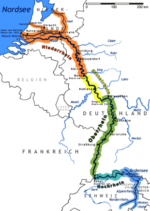
The Rench is a river in the district of Ortenau, Baden-Württemberg, Germany and a right-side tributary of the Rhine River. Its source is near Kniebis Mountain not far from Bad Griesbach in the Black Forest. It runs for 59 km before it discharges into the Rhine River near Rheinau/Lichtenau.
The Rench runs along the Rench Valley through Bad Peterstal, Oppenau, Lautenbach, Oberkirch and Renchen. In Oppenau the Lierbach discharges into the Rench.
Its upper part, the "Wildrench", is a worthy destination for hikers coming from the Schwarzwaldhochstraße or the Baden wine route.
Notes
- Much of the content of this article comes from the equivalent German-language Wikipedia article (retrieved January 29, 2006).
Tributaries of the Rhine | ||
|---|---|---|
| Left (western) |
|  |
| Right (eastern) |
| |
This article is issued from Wikipedia - version of the 7/19/2016. The text is available under the Creative Commons Attribution/Share Alike but additional terms may apply for the media files.