Rembrandt Gardens
| Rembrandt Gardens | |
|---|---|
| Neighborhood | |
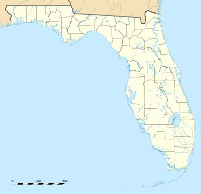 Rembrandt Gardens Location within the state of Florida | |
| Coordinates: 27°52′20″N 82°30′49″W / 27.87222°N 82.51361°WCoordinates: 27°52′20″N 82°30′49″W / 27.87222°N 82.51361°W | |
| Country | United States |
| State | Florida |
| County | Hillsborough |
| City | Tampa |
| Population (2000) | |
| • Total | 134 |
| Time zone | Eastern (EST) (UTC-5) |
| • Summer (DST) | EDT (UTC-4) |
| ZIP codes | 33616 |
Rembrandt Gardens is a neighborhood within the city limits of Tampa, Florida. As of the 2000 census the neighborhood had a population of 134. The ZIP Code serving the area 33616.[1]
Geography
Rembrandt Gardens boundaries are Lois Avenue to the east, Manhattan Avenue to the west, Interbay Boulevard to the south, and Rembrandt Drive to the north.[2]
Demographics
Source: Hillsborough County Atlas
As of the census[3] of 2010, there were 370 people residing in the neighborhood. The population density was 1,196/mi². The racial makeup of the neighborhood was 44% White, 25% African American, 1% Native American, 6% Asian, 14% from other races, and 9% from two or more races. Hispanic or Latino of any race were about 38% of the population.
There were 56 households out of which 38% had children under the age of 18 living with them, 30% were married couples living together, 22% had a female householder with no husband present, and 9% non-families. 35% of all households were made up of individuals.
In the neighborhood the population was spread out with 32% under the age of 18, 27% from 18 to 34, 26% from 35 to 49, 13% from 50 to 64, and 6% who were 65 years of age or older. For every 100 females there were 90 males.
The per capita income for the neighborhood was $10,712. About 29% of the population were below the poverty line. Of those, 44% are under the age of 18.