Ravno, Bosnia and Herzegovina
| Ravno Равно | |
|---|---|
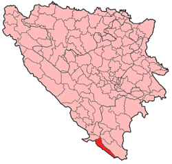 Location of Ravno within Bosnia and Herzegovina. | |
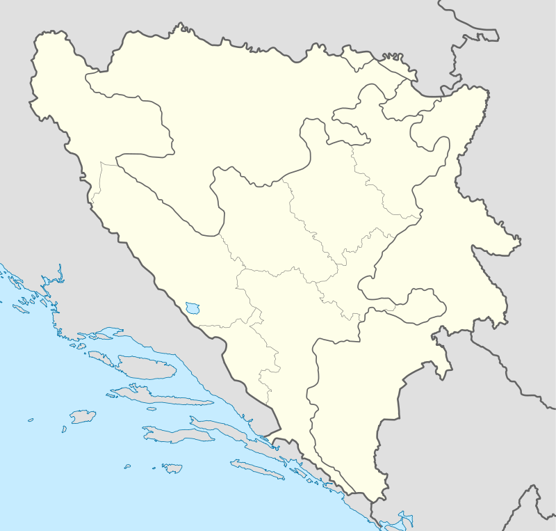 Ravno Location of Ravno | |
| Coordinates: 42°53′N 17°58′E / 42.883°N 17.967°E | |
| Country | Bosnia and Herzegovina |
| Entity | Federation of Bosnia and Herzegovina |
| Canton | Herzegovina-Neretva |
| Government | |
| • Municipality president | Andrija Šimunović (HDZ BiH) |
| Area | |
| • Total | 286 km2 (110 sq mi) |
| Population (2013 census) | |
| • Total | 3,328 |
| • Density | 11,6/km2 (300/sq mi) |
| Time zone | CET (UTC+1) |
| • Summer (DST) | CEST (UTC+2) |
| Area code(s) | +387 36 |
Ravno is a village and seat of its municipality in southern Bosnia and Herzegovina. It is located in the Herzegovina-Neretva Canton of the Federation of Bosnia and Herzegovina entity. Ravno was a separate county until 1963, when it became a part of the Trebinje municipality. In 1994, the border changed and Ravno became a municipality again. This time however, part of the frontier lands of Trebinje municipality were added as part of Ravno. When Ravno inherited part of the former Trebinje municipality it had an area of 447 km2 (173 sq mi). These added borderlands went under the title Travunian Marches (Trebinjska Krajina) and were mostly inhabited by Serbs.
Demographics
According to the 1991 census, Ravno had 198 inhabitants.
Settlements
Baljivac, Belenići, Bobovišta, Cicrina, Čavaš, Čopice, Čvaljina, Dvrsnica, Glavska, Golubinac, Gorogaše, Grebci, Ivanica, Kalađurđevići, Kijev Do, Kutina, Nenovići, Nevada, Orahov Do, Podosoje, Prosjek, Ravno, Rupni Do, Slavogostići, Slivnica Bobani, Slivnica Površ, Sparožići, Šćenica Bobani, Trebimlja, Trnčina, Uskoplje, Velja Međa, Vlaka, Vukovići, Začula, Zagradinje, Zaplanik and Zavala, and parts of settlements: Baonine, Orašje Popovo and Rapti Bobani.
Ravno during the war in Bosnia and Herzegovina
Ravno was first attacked in early October 1991 by JNA forces, which levelled the village on the way to attack Dubrovnik in the Croatian War of Independence.
Ravno again suffered heavy damage during the War in Bosnia and Herzegovina, when the majority of villages were destroyed. The area around Ravno was used as a corridor from where Dubrovnik county in Croatia was continuously attacked.
Notable people
- Dominik Andrijašević (fl. 1596–1637), Ragusan Franciscan bishop
- Nikola Bošković (1642–1721), Ragusan trader and father of Roger Joseph Boscovich
References
External links
Municipalities of the Herzegovina-Neretva Canton | ||
|---|---|---|
Coordinates: 42°53′N 17°58′E / 42.883°N 17.967°E