Rauenberg, Kraichgau
| Rauenberg | ||
|---|---|---|
|
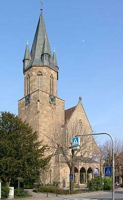
Saint Peter and Paul Church | ||
| ||
 Rauenberg | ||
Location of Rauenberg within Rhein-Neckar-Kreis district 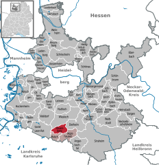
 | ||
| Coordinates: 49°16′04″N 08°42′13″E / 49.26778°N 8.70361°ECoordinates: 49°16′04″N 08°42′13″E / 49.26778°N 8.70361°E | ||
| Country | Germany | |
| State | Baden-Württemberg | |
| Admin. region | Karlsruhe | |
| District | Rhein-Neckar-Kreis | |
| Government | ||
| • Mayor | Frank Broghammer | |
| Area | ||
| • Total | 11.12 km2 (4.29 sq mi) | |
| Population (2015-12-31)[1] | ||
| • Total | 8,593 | |
| • Density | 770/km2 (2,000/sq mi) | |
| Time zone | CET/CEST (UTC+1/+2) | |
| Postal codes | 69227–69231 | |
| Dialling codes | 06222, 07253 | |
| Vehicle registration | HD | |
| Website | www.rauenberg.de | |

Rauenberg is a town in the district of Rhein-Neckar-Kreis, in Baden-Württemberg, Germany. It is situated 15 km south of Heidelberg.
| Wikimedia Commons has media related to Rauenberg. |
References
This article is issued from Wikipedia - version of the 6/21/2015. The text is available under the Creative Commons Attribution/Share Alike but additional terms may apply for the media files.