Raranitiqa
 Raranitiqa Island | |
| Geography | |
|---|---|
| Location | South Pacific |
| Coordinates | 16°54′0″S 179°59′12″E / 16.90000°S 179.98667°ECoordinates: 16°54′0″S 179°59′12″E / 16.90000°S 179.98667°E |
| Archipelago | Ringgolds |
| Administration | |
|
Fiji | |
| Additional information | |
| Time zone |
|
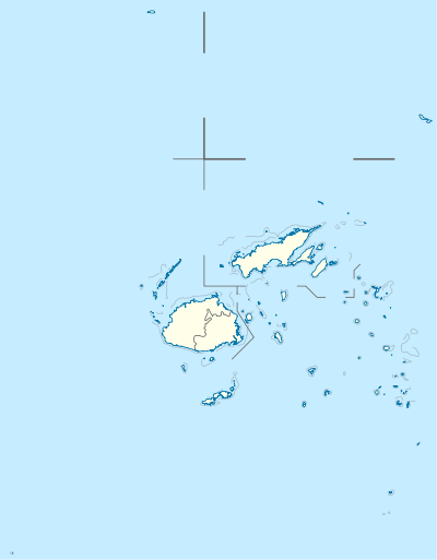
Raranitiqa Island (also known as Rara ni Tinka or Tavuka)[1] in Fiji, a member of the Ringgold Isles archipelago, which forms an outlier group to the northern island of Vanua Levu. It is located within the Budd Reef and large formations of rocks, known as the Gangway rocks, make navigation around the island dangerous at night.[2] It has a land area of 2.49 hectares. The southern part of the island has a "well-defined summit."[3]
References
- ↑ Memoirs of The Bernice Pauahi Bishop Museum of Polynesian Ethnology and Natural History. 1. Honolulu, Hawaii: Bishop Museum Press. 1903. pp. 136, 154.
- ↑ Lords Commissioners of the Admiralty (1882). Sailing Directions for the Fiji Islands and Adjacent Waters. London: Hydrographic Office, Admiralty. p. 104.
- ↑ The Hydrographic Office (1916). Pacific Islands Pilot. Washington, D.C.: Government Printing Office. p. 361.
This article is issued from Wikipedia - version of the 11/24/2016. The text is available under the Creative Commons Attribution/Share Alike but additional terms may apply for the media files.