Raniwara
| Raniwara | |
|---|---|
| City | |
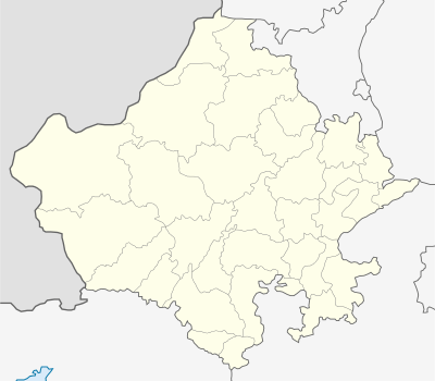 Raniwara  Raniwara Location in Rajasthan, India | |
| Coordinates: 24°45′00″N 72°13′00″E / 24.7500°N 72.2167°ECoordinates: 24°45′00″N 72°13′00″E / 24.7500°N 72.2167°E | |
| Country |
|
| State | Rajasthan |
| District | Jalor |
| Elevation | 204 m (669 ft) |
| Population (2010) | |
| • Total | 15,416[1] |
| Languages | |
| • Official | Hindi |
| Time zone | IST (UTC+5:30) |
| PIN | 343040 |
| Telephone code | 912990 |
| Vehicle registration | RJ-16 NEW RJ-46 (NEW) |
| Website | http://myraniwara.hol.es |
Raniwara (Hindi: रानीवाडा) is a City in Jalore District of Rajasthan state in India. Situated 25 km south of the Bhinmal on Jalore-Sanchore road,it is headquarters of the tehsil by the same name. Raniwara is 64 km from Mount Abu and 20 km from the town of Bhinmal.
Raniwara is Connected By Samdari-Bhildi railway line. There is a Big Dairy Plant Of Rajasthan in the town run by Jalore-Sirohi Zila Dugdh Utpadak Sahakari Sangh Ltd. Malwara, Badgaon, Ajodar, Jakhri, Dhanol, Badgaon (Jalore district), Silasan Mokhatra and Raniwara khurd are some of its nearby villages.
The famous Sundha Mata temple is located 20 km From Raniwara. The temple is situated on a hilltop called 'Sundha', at Longitude 72°-22' E and Latitude 24°-50' N.Also situated here is Hinglaj temple. It is the seat of Hinglaj goddess and worshipped by Khatri community.Famous Pipaji temple is also situated here Pipaji was a lok sant worship by Pipa Khatriya community.