Raigarh Airport
| Raigarh Airport रायगढ़ हवाई अड्डा Rāyagaṛha Havāī Aḍḍā | |||||||||||
|---|---|---|---|---|---|---|---|---|---|---|---|
| IATA: none – ICAO: none | |||||||||||
| Summary | |||||||||||
| Airport type | Public | ||||||||||
| Operator | AAI | ||||||||||
| Serves | Raigarh | ||||||||||
| Location |
Kondatarai, Chhattisgarh, India | ||||||||||
| Elevation AMSL | 791 ft / 241 m | ||||||||||
| Coordinates | 21°49′26″N 83°21′37″E / 21.82389°N 83.36028°ECoordinates: 21°49′26″N 83°21′37″E / 21.82389°N 83.36028°E | ||||||||||
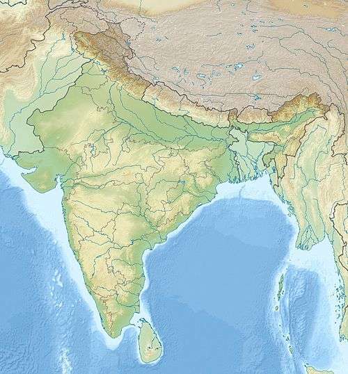
| Map | |||||||||||
 Raigarh Location of airport in India | |||||||||||
| Runways | |||||||||||
| |||||||||||
Raigarh Airport is located near Kondatarai, 9 km (5.6 mi) south of Raigarh, in Chhattisgarh, India. The air strip is used mainly for small aircraft and choppers.[1]
Expansion
The State Government signed a Memorandum of understanding (MoU) with the Airports Authority of India (AAI) on 24 July 2013 to develop Raigarh as the state's second airport for domestic flights. The airport is expected become operational by May 2017, initially only catering to 70 seater aircraft like the ATR-72. [1] The airport will be developed in two phases over three years. The runway will be upgraded to 1,870 metres in the first phase and to 2,000 metres in the second. Total cost is estimated to be Rs. 280 crores.[2]
References
- 1 2 "Chhattisgarh to get its second airport at Raigarh". CMIE. 17 May 2013. Retrieved 27 July 2013.
- ↑ "Chhattisgarh's second airport worth Rs 280 crore in Raigarh soon". The Times of India. 24 July 2013. Retrieved 27 July 2013.
External Links
This article is issued from Wikipedia - version of the 11/27/2016. The text is available under the Creative Commons Attribution/Share Alike but additional terms may apply for the media files.