Puracé
| Puracé | |
|---|---|
 Purace volcano seen from Popayán | |
| Highest point | |
| Elevation | 4,650+ metres (15,256 feet) |
| Coordinates | 2°19′N 76°24′W / 2.32°N 76.40°WCoordinates: 2°19′N 76°24′W / 2.32°N 76.40°W |
| Geography | |
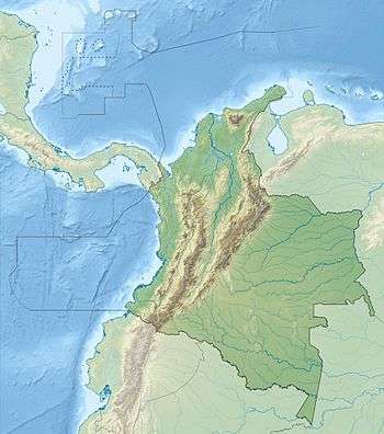
| Location | Colombia |
| Parent range | Cordillera Central |
| Geology | |
| Mountain type | Stratovolcano |
| Volcanic arc/belt | Andean Volcanic Belt |
| Last eruption | March 1977 |
Puracé is a stratovolcano located in the Puracé National Natural Park in the Cauca Department, Colombia.
It is part of the Northern Andean Volcanic Belt.
It is one of the most active volcanoes in Colombia. Large explosive eruptions occurred in 1849, 1869, and 1885, and the latest eruption was in 1977.
See also
Last eruption was 1953 not 1977. Volcano is not the most active in Colombia. The most active is Ruiz.
References
This article is issued from Wikipedia - version of the 4/20/2016. The text is available under the Creative Commons Attribution/Share Alike but additional terms may apply for the media files.