Pular (volcano)
| Pular | |
|---|---|
 | |
| Highest point | |
| Elevation | 6,233 m (20,449 ft) [1] |
| Prominence | 1,898 m (6,227 ft) [2] |
| Listing | Ultra |
| Coordinates | 24°11′15″S 68°03′15″W / 24.18750°S 68.05417°WCoordinates: 24°11′15″S 68°03′15″W / 24.18750°S 68.05417°W [1] |
| Naming | |
| Translation | The Eyebrow (Kunza) |
| Geography | |
 Pular Chile | |
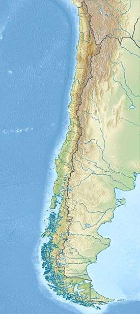
| Location | Antofagasta Region, Chile |
| Parent range | Andes |
| Geology | |
| Mountain type | Stratovolcanoes |
| Last eruption | Unknown[1] |
| Climbing | |
| First ascent | Inca, pre-Columbian[3] |
Pular is a massive stratovolcano located in the Antofagasta Region of northern Chile, about 15 km west of the border with Argentina, which in this area is a straight line between the summits of Socompa volcano and Cerro del Rincón. Pular, along with Cerro Pajonales, forms a high volcanic ridge, which runs in a generally north-east to south-west direction for 12 km (7 mi). Southward, following the same direction as the ridge, lies Socompa volcano. The ridge's crest forms a drainage divide between Salar de Atacama basin and Salar de Pular basin. This latter is a bowl-shaped basin enclosed on the east by Aracar volcano.
In the Kunza language Pular means "The Eyebrow".[3]
See also
- List of volcanoes in Chile
- List of Ultras of South America
- Caichinque
- Monturaqui crater
- List of andean peaks with known pre-columbian ascents
References
- 1 2 3 "Pular". Global Volcanism Program. Smithsonian Institution. Retrieved 2010-04-10.
- ↑ "Argentina and Chile North: Ultra-Prominences" Peaklist.org. Retrieved 2013-02-26.
- 1 2 Humberto Barrera, "Cerro Pular", American Alpine Journal, 1974, p. 194. Available at AAJ Online (PDF).
External links
This article is issued from Wikipedia - version of the 5/29/2015. The text is available under the Creative Commons Attribution/Share Alike but additional terms may apply for the media files.