Preston, Rutland
| Preston | |
 Preston |
|
| Area | 1.89 sq mi (4.9 km2) [1] |
|---|---|
| Population | 179 2001 Census[2] |
| – density | 95/sq mi (37/km2) |
| OS grid reference | SK871024 |
| – London | 81 miles (130 km) SSE |
| Unitary authority | Rutland |
| Shire county | Rutland |
| Ceremonial county | Rutland |
| Region | East Midlands |
| Country | England |
| Sovereign state | United Kingdom |
| Post town | OAKHAM |
| Postcode district | LE15 |
| Dialling code | 01572 |
| Police | Leicestershire |
| Fire | Leicestershire |
| Ambulance | East Midlands |
| EU Parliament | East Midlands |
| UK Parliament | Rutland and Melton |
Coordinates: 52°36′47″N 0°42′54″W / 52.613°N 0.715°W

Church of St Peter and St Paul
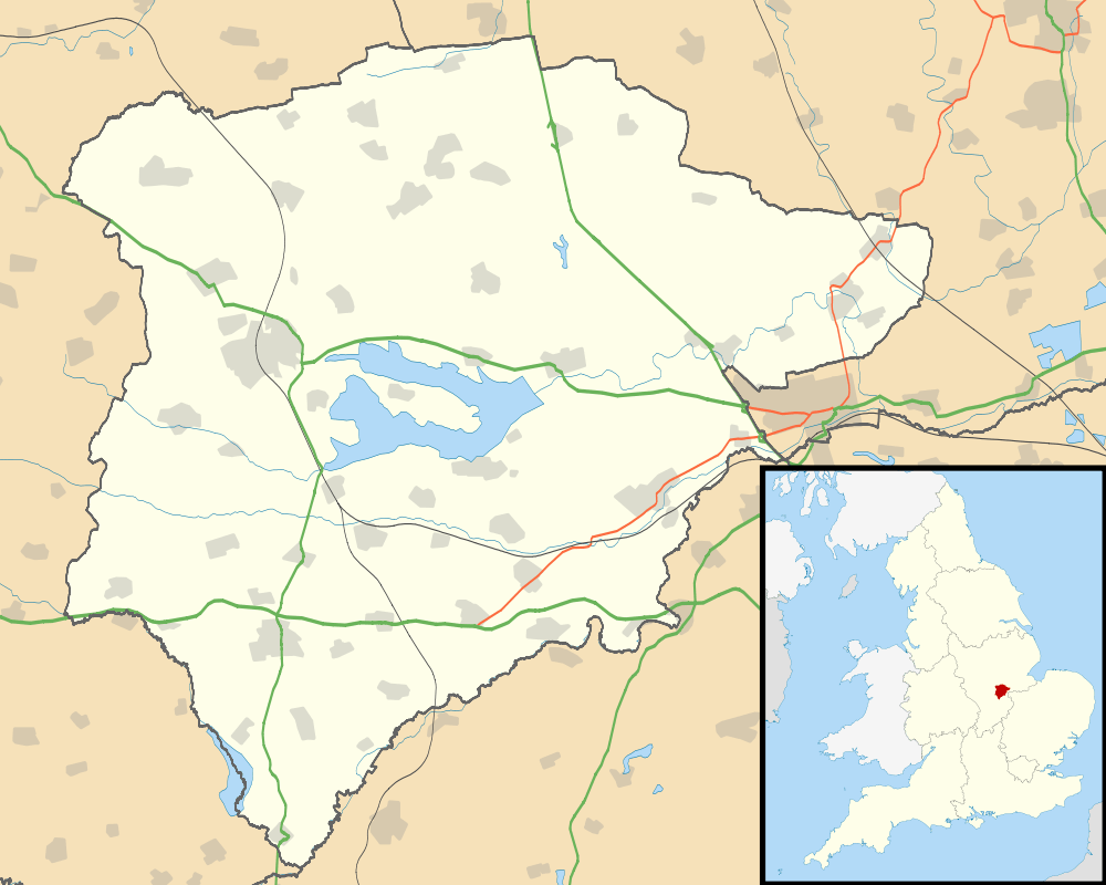
Preston is a village and civil parish in the county of Rutland in the East Midlands of England. It lies north of Uppingham on the A6003 to Oakham. The population at the 2001 census was 179 falling slightly to 173 at the 2011 census.[3]
References
- ↑ "A vision of Britain through time". University of Portsmouth. Retrieved 19 March 2009.
- ↑ "Rutland Civil Parish Populations" (PDF). Rutland County Council. 2001. Retrieved 19 March 2009.
- ↑ "Civil Parish population 2011". Neighbourhood Statistics. Office for National Statistics. Retrieved 26 June 2016.
External links
![]() Media related to Preston, Rutland at Wikimedia Commons
Media related to Preston, Rutland at Wikimedia Commons
This article is issued from Wikipedia - version of the 6/26/2016. The text is available under the Creative Commons Attribution/Share Alike but additional terms may apply for the media files.