Presidente Perón International Airport
| Presidente Perón Internacional Airport Aeropuerto Internacional de Neuquén – Presidente Perón | |||||||||||
|---|---|---|---|---|---|---|---|---|---|---|---|
 | |||||||||||
| IATA: NQN – ICAO: SAZN | |||||||||||
| Summary | |||||||||||
| Airport type | Public / Military | ||||||||||
| Operator | Government and Aeropuertos del Neuquén | ||||||||||
| Serves | Neuquén, Argentina | ||||||||||
| Location | Ruta N22 esq. Av. San Martín, Neuquén (Q8300) | ||||||||||
| Elevation AMSL | 961 ft / 293 m | ||||||||||
| Coordinates | 38°56′56″S 68°09′21″W / 38.94889°S 68.15583°WCoordinates: 38°56′56″S 68°09′21″W / 38.94889°S 68.15583°W | ||||||||||
| Map | |||||||||||
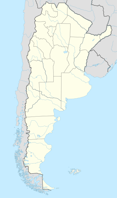 NQN Location of airport in Argentina | |||||||||||
| Runways | |||||||||||
| |||||||||||
| Statistics (2010) | |||||||||||
| |||||||||||
Presidente Perón International Airport (Spanish: Aeropuerto Internacional de Neuquén – Presidente Perón) (IATA: NQN, ICAO: SAZN) is an airport in Neuquén Province, Argentina serving the cities of Neuquén, Cipolletti, Plottier, Centenario, and General Roca. It has the 4C ICAO Classification. It has facilities suitable for landing large aircraft such as the Boeing 757 or the Boeing 767.
Overview
It has a 5,200m² terminal with facilities for international passengers, with police, customs and migrations, parking places for 1,500 cars, restaurants, shops, banks, taxis, tourist information, and car rental agencies.
The airport has 7 hangars, Aeronautical Mechanicals, VOR, ILS CAT I, and PAPI (Precision Approach Path Indicator) system.
Airlines and destinations
Charter airlines
| Airlines | Destinations |
|---|---|
| American Jet | Rincón de los Sauces, San Martín de los Andes |
Accidents and incidents
- 18 May 2011: Sol Líneas Aéreas Flight 5428 – On a Córdoba-Mendoza-Neuquén-Comodoro Rivadavia route[4]
References
- ↑ Airport information for SAZN at World Aero Data. Data current as of October 2006.Source: DAFIF.
- ↑ Airport information for NQN at Great Circle Mapper. Source: DAFIF (effective October 2006).
- ↑ Airport Council International 2010 World Airport Traffic Report
- ↑ "Sol Líneas Aéreas Informa" (Press Release #1). Sol Líneas Aéreas. Retrieved on 19 May 2011.
External links
- American Jet s.a. (English or Spanish)
- Current weather for SAZN at NOAA/NWS
- Accident history for NQN at Aviation Safety Network